National Institute of Informatics - Digital Silk Road Project
| |||||||||
|
| Scientific Results of a Journey in Central Asia, 1899-1902 : vol.4 |
 |
GENERAL MAP OF TIBET. KWEN-LUN BORDER-RANGES.
547
the Indus and the Jarkent-darja on the one side and those of the Indo-Chinese rivers on the other; to north and south, where rise the border-ranges, there will appear a similar energetic modelling of the surface; and in the middle, though somewhat nearer to the northern than to the southern margin, the relief will be less powerfully sculptured. In a word, the whole will make up a picture from which it will be possible to read off directly several of the laws of denudation and erosion which for countless millennia have been actively at work shaping the Tibetan swelling into the actual surface-forms which it exhibits to-day.
The attempt to represent the Tibetan ranges which I myself am acquainted with — the task which I will now essay — is, as I have already said, entirely of a provisional character. The representation would have been both more certain and more trustworthy had my map on the scale of I : I ,000,000, making use of the whole of the materials, been ready. My attempt must therefore be regarded only as a »first edition», the improved and enlarged edition of which will appear in conjunction with the work which I trust I shall be able to write about my next journey in Tibet.
To begin with, we have the highlands of Tibet bordered on the north by a vast system of parallel border-ranges, bearing the common name of Kwen-lun. Of these the only part with which we are more immediately concerned is that which is called the Astin-tagh. Now the Astin-tagh undoubtedly forms a link in this chain of border-ranges; but orographically it cannot be said to be in direct connection with the main range of the western Kwen-lun. According to Grenard's conception, this last is continued eastwards by the Kalta-alaghan and other parallel branches, while the Arka-tagh forms the eastward continuation of a more southerly arm of the Kwen-lun. This interpretation is fully shared by Bogdanovitsch, as appears from the little sketch-map in his book (p. 83) dealing with the Pjevtsoff expedition. I too am of this opinion, though it must at the same time be acknowledged that the country around Tokus-davan, where the Kalta-alaghan and the Arka-tagh systems both begin, is far too little known to warrant sound conclusions being drawn as to the connection and relations of these ranges with the western Kwen-lun. If however
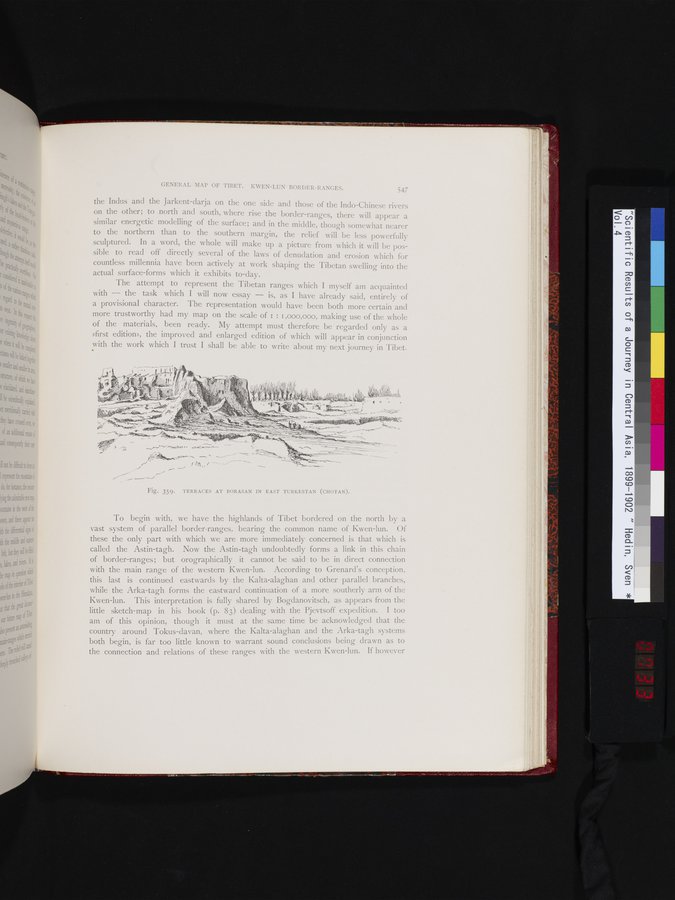
Fig. 359. TERRACES AT BORASAN IN EAST TURKESTAN (CHOTAN).
|
Copyright (C) 2003-2019 National Institute of Informatics and The Toyo Bunko. All Rights Reserved.