National Institute of Informatics - Digital Silk Road Project
| |||||||||
|
| Scientific Results of a Journey in Central Asia, 1899-1902 : vol.4 |
 |
GENERAL MAP OF TIBET. KWEN-LUN BORDER-RANGES.
551
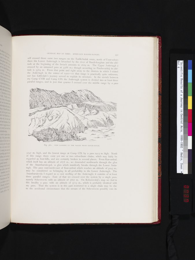
self crossed those same two ranges on the Tatlik-bulak route, north of Usun-schor; there the Lower Astin-tagh is breached by the river of Basch-kurghan and the altitude at the beginning of the breach amounts to 2629 m. The Upper Astin-tagh I crossed by an unnamed pass at 3588 m. ; though according to Prschevalskij its altitude is 3384 m. From that point and right away to the districts in which I visited the Astin-tagh in the winter of 1900-01 that range is practically quite unknown, nor has Littledale's journey served to explain its structure. In the stretch between my Camp CVIII and Camp CIX the Astin-tagh system is divided into at least three parallel ranges, and in just that quarter I crossed over the middle range by a pass
3247 m. high, and the lowest range at Camp CIX by a pass 2915 m. high. North of this range there exist yet one or two subordinate chains, which may fairly be regarded as foot-hills, and are certainly broken in several places. From Kan-ambal, which itself has an altitude of 2878 m., we descended northwards through the glen of the Anambaruin-gol, a glen which manifestly breaks through the Lower Astintagh. The pass east-north-east of Kan-ambal, which reaches an altitude of 3095 m., may be considered as belonging in all probability to the Lower Astin-tagh. The Anambaruin-ula I regard as a vast swelling of the Astin-tagh; it consists of at least three parallel ranges. East of that we crossed over the system by a single pass, namely Scho-ovo-tu with an altitude of 3667 m. On Roborovskij's map we find in this locality a pass with an altitude of 3713 m., which is probably identical with my pass. That the system is in this part restricted to a single chain may be due to the accidental circumstance that the stream of the Scho-ovo-tu possibly cuts its
Fig. 36r. VIEW LOOKING UP THE VALLEY FROM TATLiK-BULAK.
|
Copyright (C) 2003-2019 National Institute of Informatics and The Toyo Bunko. All Rights Reserved.