National Institute of Informatics - Digital Silk Road Project
| |||||||||
|
| Scientific Results of a Journey in Central Asia, 1899-1902 : vol.4 |
 |
'
6o FROM CENTRAL TIBET TO LADAK.
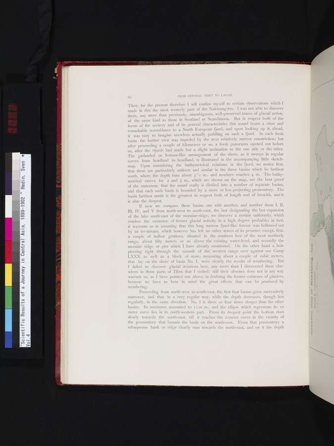
Tibet; for the present therefore I will confine myself to certain observations which I made in this the most westerly part of the Naktsong-tso. I was not able to discover there, any more than previously, unambiguous, well-preserved traces of glacial action, of the same kind as those in Scotland or Scandinavia. But in respect both of the forms of the scenery and of its general characteristics this sound bears a close and remarkable resemblance to a North European fjord, and upon looking up it, ahead, it was easy to imagine ourselves actually paddling on such a fjord. In each fresh basin the further view was impeded by the next relatively narrow constriction; but after proceeding a couple of kilometers or so, a fresh panorama opened out before us, after the »fjord» had made but a slight inclination to the one side or the other. The garlanded or festoon-like arrangement of the shore, as it sweeps in regular curves from headland to headland, is illustrated in the accompanying little sketch-map. Upon considering the bathymetrical relations in the fjord, we notice first, that these are particularly uniform and similar in the three basins which lie farthest south, where the depth runs about 3 I /2 m., and nowhere reaches 4 m. The bathymetrical curves for 2 and 3 m., which are shown on the map, are the best proof of the statement, that the sound really is divided into a number of separate basins, and that each such basin is bounded by a more or less projecting promontory. The basin farthest north is the greatest in respect both of length and of breadth, and it is also the deepest.
If now we compare these basins one with another, and number them I, II, III, IV, and V from north-west to south-east, the last designating the last expansion of the lake south-east of the moraine-ridge, we discover a certain uniformity, which renders the existence of former glacial activity in a high degree probable; in fact, it warrants us in assuming that this long narrow fjord-like furrow was hollowed out by an ice-stream, which however has left no other traces of its presence except, first, a couple of hollow grottoes, situated in the southern face of the most northerly range, about fifty meters or so above the existing water-level, and secondly the moraine ridge or pier which I have already mentioned. On the other hand a hole piercing right through the summit of the western range over against our Camp LXXX, as well as a block of stone, measuring about a couple of cubic meters, that lay on the shore of basin No. I, were clearly the results of weathering. But I failed to discover glacial striations here, any more than I discovered them elsewhere in those parts of Tibet that I visited; still their absence does not in any way warrant us, as I have pointed out above, in doubting the former existence of glaciers, because we have to bear in mind the great effects that can be produced by weathering.
Proceeding from north-west to south-east, the first four basins grow successively
narrower, and that in a very regular way, while the depth decreases, though less regularly, in the same direction. No. I is three or four times deeper than the other basins. Its maximum amounted to I 1.68 m., and the ellipse which represents its 10 meter curve lies in its north-western part. From its deepest point the bottom rises slowly towards the south-east, till it reaches the 2-meter curve in the vicinity of the promontory that bounds the basin on the south-east. From that promontory a subaqueous bank or ridge clearly runs towards the north-east, and on it the depth
|
Copyright (C) 2003-2019 National Institute of Informatics and The Toyo Bunko. All Rights Reserved.