National Institute of Informatics - Digital Silk Road Project
| |||||||||
|
| Scientific Results of a Journey in Central Asia, 1899-1902 : vol.4 |
 |
THE WESTERN PANGGONG-TSO.
343
which we now entered, there is no drainage-channel whatever, although I fully expected to see one of the same size as that in the north-western glen. There was it is true, a tiny rivulet; yet it was quite insignificant, and did not belong to the main glen, but came out of a small side-glen that pierces the mountains on the south. Of this puzzle we were soon to discover the explanation.
The bottom of the valley, which ascends slowly and irregularly towards the south-west, is completely choked with gravel and stones, wholly products of disintegration, which have tumbled down from the surrounding mountains and make the track exceedingly uncomfortable. We passed a very beautiful obo, consisting of two stone kists, one, on the east, covered with well-carved Mane formuke, the other, on the west, bearing poles and flags. Soon after that we approached a little pass, and there we discovered the explanation of the puzzle, an explanation which throws a most interesting light upon the orographical problem as a whole. The pass is so low and slight that it would escape notice were it not that the watercourse which emerges from it runs to the west, betraying that the surface slopes in that direction and not towards the lake. Consequently the obo in the glen by which we ascended marks the western boundary of the hydrographical area of the Panggong-tso, and we had consequently now entered the drainage-area of the Indus. From that point we should definitively leave behind us the elevated and relatively flat highlands of Tibet, where the surface modelling is less energetic, and should be travelling down to lower levels in a peripheral region. Thus this little pass, although scarce discernible, possesses greater orographical and hydrographical importance than the great passes which we crossed over in the vast Arka-tagh. While the latter merely form a hydrographical boundary between the Lop-nor region and the self-contained drainage-areas of central Tibet, the former constitutes a dividing-line between the inland drainage regions of Central Asia and the Indian Ocean.
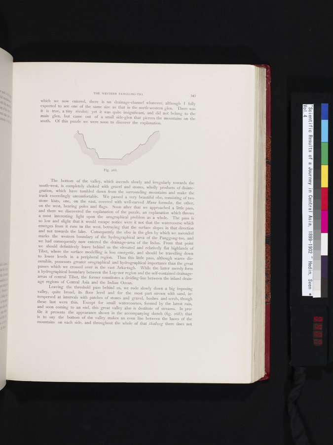
Leaving the threshold pass behind us, we rode slowly down a big imposing valley, quite broad,. its floor level and for the most part strewn with sand, interspersed at intervals with patches of stones and gravel, bushes and scrub, though these last were thin. Except for small watercourses, formed by the latest rain, and soon coming to an end, this great valley also is destitute of streams. In profile it presents the appearance shown in the accompanying sketch (fig. 268); that is to say the bottom of the valley makes an even line between the bases of the mountains on each side, and throughout the whole of that thalweg there does not
i
Fig. 268.
|
Copyright (C) 2003-2019 National Institute of Informatics and The Toyo Bunko. All Rights Reserved.