National Institute of Informatics - Digital Silk Road Project
| |||||||||
|
| Scientific Results of a Journey in Central Asia, 1899-1902 : vol.4 |
 |
I I 2 WESTWARDS TO LADAK.
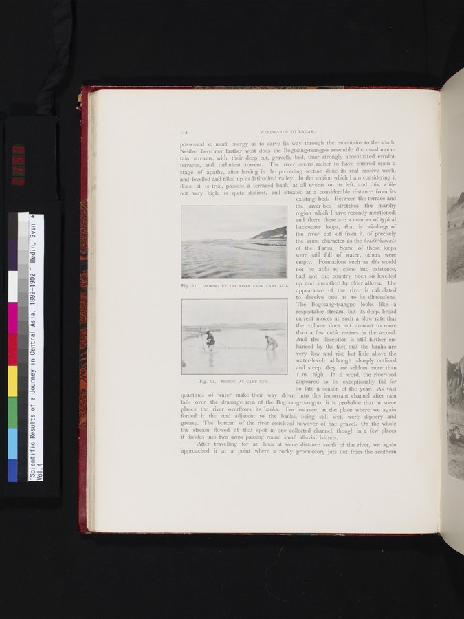
possessed so much energy as to carve its way through the mountains to the south. Neither here nor farther west does the Bogtsang-tsangpo resemble the usual mountain streams, with their deep cut, gravelly bed, their strongly accentuated erosion terraces, and turbulent torrent. The river seems rather to have entered upon a stage of apathy, after having in the preceding section done its real erosive work, and levelled and filled up its latitudinal valley. In the section which I am considering it does, it is true, possess a terraced bank, at all events on its left, and this, while not very high, is quite distinct, and situated at a considerable distance from its
existing bed. Between the terrace and the river-bed stretches the marshy region which I have recently mentioned, and there there are a number of typical backwater loops, that is windings of the river cut off from it, of precisely the same character as the boldschenaals
of the Tarim. Some of these loops were still full of water, others were empty. Formations such as this would not be able to come into existence, had not the country been so levelled up and smoothed by older alluvia. The appearance of the river is calculated to deceive one as to its dimensions. The Bogtsang-tsangpo looks like a respectable stream, but its deep, broad current moves at such a slow rate that the volume does not amount to more than a few cubic metres in the second. And the deception is still further enhanced by the fact that the banks are very low and rise but little above the water-level; although sharply outlined and steep, they are seldom more than I m. high. In a word, the river-bed appeared to be exceptionally full for so late a season of the year. As vast
quantities of water make their way down into this important channel after rain falls over the drainage-area of the Bogtsang-tsangpo, it is probable that in some places the river overflows its banks. For instance, at the place where we again forded it the land adjacent to the banks, being still wet, were slippery and greasy. The bottom of the river consisted however of fine gravel. On the whole the stream flowed at that spot in one collected channel, though in a few places it divides into two arms passing round small alluvial islands.
After travelling for an hour at some distance south of the river, we again approached it at a point where a rocky promontory juts out from the southern
Fig. 61. LOOKING UP THE RIVER FROM CAMP XCII.
lé
G, tit
Fig. 62. FISHING AT CAMP XCII.
|
Copyright (C) 2003-2019 National Institute of Informatics and The Toyo Bunko. All Rights Reserved.