National Institute of Informatics - Digital Silk Road Project
| |||||||||
|
| Scientific Results of a Journey in Central Asia, 1899-1902 : vol.4 |
 |
588
OROGRAPHY OF CENTRAL TIBET.
the mean altitude of the base of the plateau alone, we ought to eliminate from the list of Bower's altitudes those of all passes of the first rank, that is to say such passes as, there is reason to believe, belong to mountain-ranges which farther east are connected with the ranges which I have associated together under the common name of the Tschang system. If we eliminate the passes from Bower's list, then the mean value of the twenty-one stations that remain, all of them belonging to the
| fundamental base of the plateau, works out at 5072 m. | We |
| |
| then get this result: — | |||
| (I) | Wellby | 5131 | m. |
| | Bower | 5072 | » |
| | Hedin | 4780 | ' |
| | Nain Singh | 4502 | ' |
That is between (I) and (2) there is a fall of 59 m., between (2) and (3) a fall of 292 m., and between (3) and (4) a fall of 278 m. Wellby's is the only route lying in its entirety within the limits of the region which I consider to be the culminating swelling of the whole Tibetan highlands, and which in a more or less broad zone stretches from east to west right across the country from the Arka-tagh to the Tang-la. It is for this reason that his mean works out the highest. We may take it as quite certain, that the westward continuations of the highest mountain system in the interior of Tibet, namely the parallel ranges of the Tang-la, will be found exactly midway between Wellby's route and Bower's. The last does, it is true, cross high Tibet proper between 82° and 86°, but it does not traverse the very highest part, for that lies south of the Tang-la system and this route is 59 m. lower than Wellby's route. A decided fall towards the south is however noticeable when my route is reached, and the fall is still further accentuated when we get down to the valley of the Tsangpo.
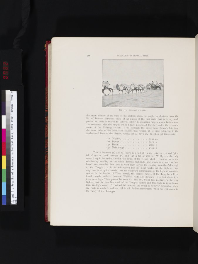
Fig. 373. CROSSING A RIVER.
|
Copyright (C) 2003-2019 National Institute of Informatics and The Toyo Bunko. All Rights Reserved.