National Institute of Informatics - Digital Silk Road Project
| |||||||||
|
| Scientific Results of a Journey in Central Asia, 1899-1902 : vol.4 |
 |
WESTWARDS TO LADAK.
142
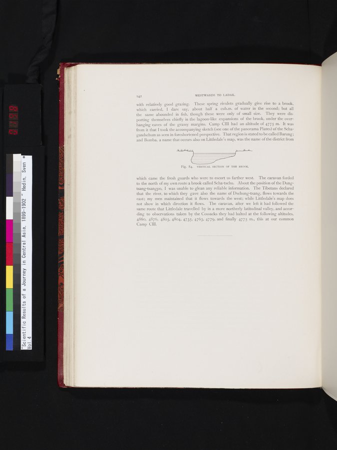
with relatively good grazing. These spring rivulets gradually give rise to a brook, which carried, I dare say, about half a cub.m. of water in the second ; but all the same abounded in fish, though these were only of small size. They were disporting themselves chiefly in the lagoon-like expansions of the brook, under the overhanging eaves of the grassy margins. Camp CIII had an altitude of 4775 m. It was from it that I took the accompanying sketch (see one of the panorama Plates) of the Schagandschum as seen in foreshortened perspective. That region is stated to be called Barung; and Bomba, a name that occurs also on Littledale's map, was the name of the district from
Fig. 84. VERTICAL SECTION OF THE BROOK.
which came the fresh guards who were to escort us farther west. The caravan forded to the north of my own route a brook called Scha-tschu. About the position of the Dungtsang-tsangpo, I was unable to glean any reliable information. The Tibetans declared that the river, to which they gave also the name of Dschung-tsang, flows towards the east; my men maintained that it flows towards the west; while Littledale's map does not show in which direction it flows. The caravan, after we left it had followed the same route that Littledale travelled by in a more northerly latitudinal valley, and according to observations taken by the Cossacks they had halted at the following altitudes, 4860, 4876, 4803, 4804, 4735, 4763, 4779, and finally 4775 m., this at our common Camp CIII.
|
Copyright (C) 2003-2019 National Institute of Informatics and The Toyo Bunko. All Rights Reserved.