National Institute of Informatics - Digital Silk Road Project
| |||||||||
|
| Scientific Results of a Journey in Central Asia, 1899-1902 : vol.4 |
 |
.330 WESTWARDS TO LADAK.
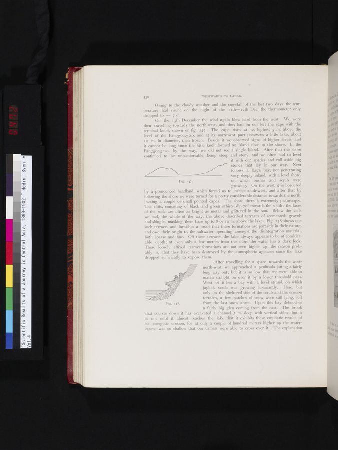
Fig. 247.
Owing to the cloudy weather and the snowfall of the last two days the temperature had risen: on the night of the II th— i 2 th Dec. the thermometer only dropped to — 7.5°.
On the i 3th December the wind again blew hard from the west. We were then travelling towards the north-west, and thus had on our left the cape with the terminal knoll, shown on fig. 247. The cape rises at its highest 3 m. above the level of the Panggong-tso, and at its narrowest part possesses a little lake, about 10 m. in diameter, then frozen. Beside it we observed signs of higher levels, and it cannot be long since the little knoll formed an island close to the shore. In the Panggong-tso, by the way, we did not see a single island. After that the shore continued to be uncomfortable, being steep and stony, and we often had to level
it with our spades and roll aside big stones that lay in our way. Next follows a large bay, not penetrating
very deeply inland, with a level shore, on which bushes and scrub were growing. On the west it is bordered
by a pronounced headland, which forced us to incline south-west, and after that by following the shore we were turned for a pretty considerable distance towards the north, passing a couple of small pointed capes. The shore there is extremely picturesque. The cliffs, consisting of black and green schists, dip 70° towards the south; the faces of the rock are often as bright as metal and glittered in the sun. Below the cliffs we had, the whole of the way, the above described terraces of »cemented» graveland-shingle, masking their base up to 8 or 1 o m. above the lake. Fig. 248 shows one such terrace, and furnishes a proof that these formations are parasitic in their nature, and owe their origin to the saltwater operating amongst the disintegration material, both coarse and fine. Off these terraces the lake always appears to be of considerable depth; at even only a few meters from the shore the water has a dark look. These loosely affixed terrace-formations are not seen higher up; the reason probably is, that they have been destroyed by the atmospheric agencies since the lake dropped sufficiently to expose them.
After travelling for a space towards the west-
north-west, we approached a peninsula jutting a fairly long way out; but it is so low that we were able to
march straight on over it by a lower threshold pass. West of it lies a bay with a level strand, on which japkak scrub was growing luxuriantly. Here, but
~o,00.p only on the sheltered side of the scrub and the erosion
c- terraces, a few patches of snow were still lying, left
4ôS-7p0 qo c
000a oa
from the last snow-storm. Upon this bay debouches a fairly big glen coming from the east. The brook
that courses down it has excavated a channel 3 m. deep with vertical sides; but it is not until it almost reaches the lake that it exhibits these emphatic results of its energetic erosion, for at only a couple of hundred meters higher up the watercourse was so shallow that our camels were able to cross over it. The explanation
Fig. 248.
|
Copyright (C) 2003-2019 National Institute of Informatics and The Toyo Bunko. All Rights Reserved.