National Institute of Informatics - Digital Silk Road Project
| |||||||||
|
| Scientific Results of a Journey in Central Asia, 1899-1902 : vol.4 |
 |
| OTHER PARALLEL RANGES OF NORTHERN TIBET. | 557 | |
| valley I encamped in fifteen different places counting from the mouth of the Toghrisaj, and consequently have excellent material for calculating its mean elevation; and yet other encampments were so close to the foot of the mountains that they may conveniently be neglected. I also exclude that part of the valley which stretches from the mouth of the Toghri-saj to the Ghultscha-davan, partly because I never visited it, and partly because the ascent up to the pass is so steep that to include it would lead to an illegitimate increase in the mean elevation of the real flat and open valley. The altitudes of the fifteen encampments are as follows, counting from west to east: 3800, 3769, 3475, 3475, 3455, 3489, 3378, 3305, 2961, 2930, 2977, | ||
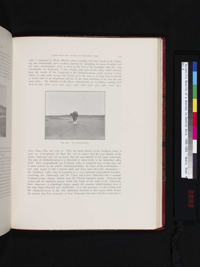
| Fig. 364. THE PITELIK-DARJA. | ||
| 2907, 2899, 2865, and 2837 m. Thus the mean altitude of the "Tschimen valley is 3237 m. Consequently its floor lies 200 m. higher than the pass-altitude of the Lower Astin-tagh and 200 m. lower than the pass-altitude of the Upper Astin-tagh. The pass of Ghultscha-davan is a threshold or water-divide in the latitudinal valley itself. Thus orographically the Tschimen valley is continued west of that pass and is there drained by the middle Tschertschen-darja. In virtue of this conformation — and with regard to this I depend solely and alone upon Pjevtsoff's information — the Tschimen valley may be regarded as a very important orographical boundary, converting the Akato-tagh and the Upper and Lower Astin-tagh into a separate mountain-system sharply distinct from the Tibetan highlands proper. Between this system and the highlands proper, which only begin on the south of the Arka-tagh, there intervenes a transitional region, namely the extensive inland-drainage area of the twin basins Kum-köl and Atschik-köl. It is only necessary to call to mind, that the Ghultscha-davan is the only latitudinal threshold in that region which divides the streams that flow westwards to East Turkestan from those that flow eastwards to | ||
|
Copyright (C) 2003-2019 National Institute of Informatics and The Toyo Bunko. All Rights Reserved.