National Institute of Informatics - Digital Silk Road Project
| |||||||||
|
| Scientific Results of a Journey in Central Asia, 1899-1902 : vol.4 |
 |
130
WESTWARDS TO LADAK.
the gods for the protection of their holy mountain. The third of these jagged crests, lying farthest towards the north, produces a very curious effect upon the beholder, for its southern face is almost perpendicular.
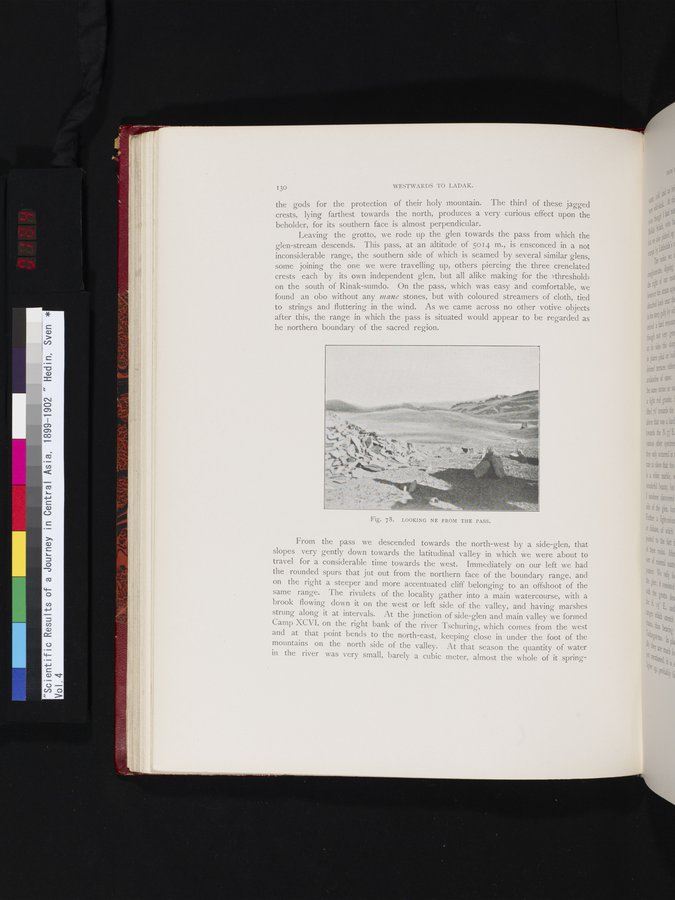
Leaving the grotto, we rode up the glen towards the pass from which the glen-stream descends. This pass, at an altitude of 5014 m., is ensconced in a not inconsiderable range, the southern side of which is seamed by several similar glens, some joining the one we were travelling up, others piercing the three crenelated crests each by its own independent glen, but all alike making for the »threshold» on the south of Rinak-sumdo. On the pass, which was easy and comfortable, we found an obo without any mane stones, but with coloured streamers of cloth, tied to strings and fluttering in the wind. As we came across no other votive objects after this, the range in which the pass is situated would appear to be regarded as he northern boundary of the sacred region.
Fig. 78. LOOKING NE FROM THE PASS.
From the pass we descended towards the north-west by a side-glen, that slopes very gently down towards the latitudinal valley in which we were about to travel for a considerable time towards the west. Immediately on our left we had the rounded spurs that jut out from the northern face of the boundary range, and on the right a steeper and more accentuated cliff belonging to an offshoot of the same range. The rivulets of the locality gather into a main watercourse, with a brook flowing down it on the west or left side of the valley, and having marshes strung along it at intervals. At the junction of side-glen and main valley we formed Camp XCVI, on the right bank of the river Tschuring, which comes from the west and at that point bends to the north-east, keeping close in under the foot of the mountains on the north side of the valley. At that season the quantity of water in the river was very small, barely a cubic meter, almost the whole of it spring-
i!
•
|
Copyright (C) 2003-2019 National Institute of Informatics and The Toyo Bunko. All Rights Reserved.