National Institute of Informatics - Digital Silk Road Project
| |||||||||
|
| Scientific Results of a Journey in Central Asia, 1899-1902 : vol.4 |
 |
556 OROGRAPHY OF CENTRAL TIBET.
extreme east we crossed by the Akato pass, situated north of the Ghas-köl and reaching an altitude of 3698 m. These four passes lie relatively close to one another, namely within a space of 2 /2°. They do not indicate any drooping of the range towards the east, but on the contrary prove that its crest is very irregular in altitude. In the Ghopur-alik we have a pass which in point of elevation very considerably surpasses the mean altitudes of the passes in the parallel ranges that come next to it on the south. The four passes which I have mentioned give for the Akato-tagh a mean pass-altitude of 3971 m., thus a considerably higher value than for the Upper Astin-tagh.
Both the Astin-tagh and the Akato-tagh run from west-south-west to east-north-east. Of the latitudinal valley between them I have only two reliable altitudes, namely 3081 m. and 286o m., giving a mean elevation of 297o m.
The next range to the south is the Tschimen-tagh, with five reliable pass-altitudes, namely, going from west to east, — 4159, 4194, 4034, 4545, and 4269 m. These determinations give, as compared with the Akato-tagh, a fairly level crest, the differences in elevation not exceeding 500 m., whereas in the Akato-tagh they amount to 17 5o m. Thus the mean pass-altitude of the Tschimen-tagh is 424o m. The Tschimen-tagh in its western part runs from west to east, but in its eastern part it inclines towards the east-south-east and south-east. The Akato-tagh is separated from the Tschimen-tagh by the Tschimen valley, which is uncommonly broad and distinctly defined: according to Pjevtsoff, it begins at the pass of Ghultscha-davan, which forms a water-divide between the Tschertschen-darja (Tarim basin) and the Tschimen valley (Tsajdam). From that pass this latter valley slopes steadily down to the Ghas-köl. According to Pjevtsoff, the Gultscha-davan has an altitude of 4314 m.; and according to my own observations, the Ghas-köl lies at an altitude of 2837 m. In the Tschimen
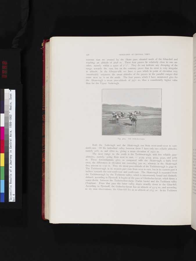
Fig. 363. THE PITELIK-DARJA.
|
Copyright (C) 2003-2019 National Institute of Informatics and The Toyo Bunko. All Rights Reserved.