National Institute of Informatics - Digital Silk Road Project
| |||||||||
|
| Scientific Results of a Journey in Central Asia, 1899-1902 : vol.4 |
 |
GENERAL MAP OF TIBET. KWEN-LUN BORDER-RANGES.
539
details. On the whole it agrees very closely with my own, showing a level plateau traversed by a number of mountain-ranges stretching east and west.
When however I attempted myself to draw a similar orographical map, I discovered that the task was beset with the greatest difficulties, and in the matter of the direction in which the ranges run real certainty can be attained within narrow limits only, namely in those regions in which the travellers' itineraries lie close together. This is the case, for example, with the region between the Astintagh and the Kum-köl basin, where I have myself crossed over the ranges in so
>>I
;
00v ~~~•~~'~~~•~ %/
* ‘\ ~ ~; f~ '.4, ir ~~ / •~'
T
~ ~ :. _ .-- -- ,/~/~`~~~~... ~`~
x-..~11vrti Aq— r`
, - . ~ ~ ` .~•,q —, -~ —~~
~
!~ i
__. ./
~
_~_~-~t\ N 7~C-~ ~-, ~~..~.,~:ï—~ ~., _~.~~~_..~~
C/, ~
C < - .-.( ~~r.-,!%% ~,1--~~~ G
--
~
<r,,. .~. '. ..~~
~/"~~h ~; '
~r~47l; ~'/i
,,../-
~.i"s- „„ l....7.5.-_ ( a
i~°~,, ~~-/~~k -
~-• .. C.,
s‘. .", ,_ -
,:
'Zee~
,~
z :t ^ ,
(c YI
P2 •~
~~
~ ~
~ 0-)
-~
E. s./,‘.
C I ~ ~7
r,,
'
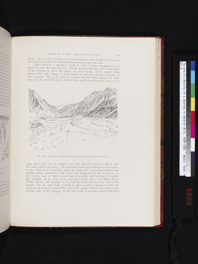
Fig. 354. THE EXIT OF THE MÖLDSCHA FROM THE MOUNTAINS; LOOKING SSE.
many places that even in default of any other material I should be able to draw the ranges which exist there. The same thing holds good, although to a less degree, of the whole of the broad zone which lies south of the region just mentioned and stretches thence southwards to the basin of the Selling-tso and the Tengri-nor. In the extreme west of Tibet it would also be possible, with the help of the older, and especially of the more recent, itineraries, namely those of de Rhins, Deasy, Wellby, Bower, and Rawling, to set forth the broad features of the relief of the country. On the other hand it would be labour wasted to attempt to define the ranges in the heart of central Tibet, and in the country between Nain Singh's route and the valley of the Tsangpo. In fact, the results of any such attempt would have
~• ^~.~`~ ~-
`~`~-
f
-
|
Copyright (C) 2003-2019 National Institute of Informatics and The Toyo Bunko. All Rights Reserved.