National Institute of Informatics - Digital Silk Road Project
| |||||||||
|
| Scientific Results of a Journey in Central Asia, 1899-1902 : vol.4 |
 |
AMONG THE DESICCATED LAKES OF WESTERN TIBET. 237
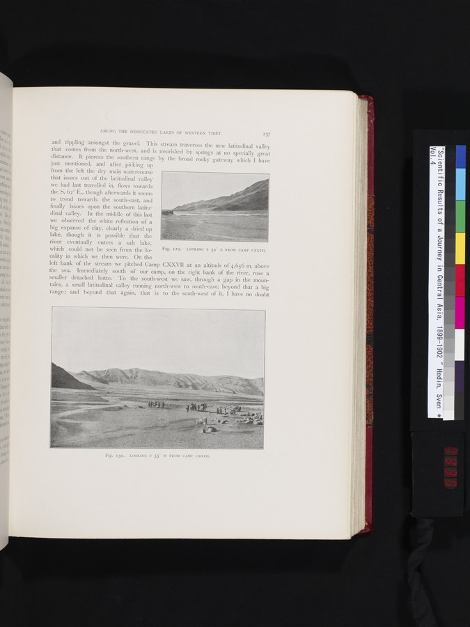
and rippling amongst the gravel. This stream traverses the new latitudinal valley that comes from the north-west, and is nourished by springs at no specially great distance. It pierces the southern range by the broad rocky gateway which I have
just mentioned, and after picking up from the left the dry main watercourse that issues out of the latitudinal valley we had last travelled in, flows towards the S. 62° E., though afterwards it seems to trend towards the south-east, and finally issues upon the southern latitudinal valley. In the middle of this last we observed the white reflection of a big expanse of clay, clearly a dried up lake, though it is possible that the river eventually enters a salt lake,
which could not be seen from the locality in which we then were. On the
left bank of the stream we pitched Camp CXXVII at an altitude of 4,656 m. above the sea. Immediately south of our camp, on the right bank of the river, rose a smaller detached butte. To the south-west we saw, through a gap in the mountains, a small latitudinal valley running north-west to south-east; beyond that a big range ; and beyond that again, that is to the south-west of it, I have no doubt
1
1
Fig. I29. LOOKING S 500 E FROM CAMP CXXVII.
Fig. 130. LOOKING S 33" W FROM CAMP CXXVII.
|
Copyright (C) 2003-2019 National Institute of Informatics and The Toyo Bunko. All Rights Reserved.