National Institute of Informatics - Digital Silk Road Project
| |||||||||
|
| Scientific Results of a Journey in Central Asia, 1899-1902 : vol.4 |
 |
TIIE WESTERN PANGGONG-TSO. 335
our camp at Sertse, a distance of 5250 ni., taking 5 soundings on the way. Along this stretch the deepest place was 47.50 m., situated as before rather nearer to the southern shore than to the northern. This depth corresponds almost exactly to the greatest which I first sounded in Tibet, namely in the freshwater lake between Camps XXXVIII and XXXIX (I 90o), where the depth amounted to 48.67 m. Thus according to our soundings, the Panggong-tso is 16 m. deeper than the deepest part of the Tso-ngombo. Generally it holds good with regard to these soundings, that the depth increases towards the west, so that possibly there exist even greater depths west of the line last sounded, though it is more probable that the lake bottom soon begins to rise towards the level plain situated at the western end of the Panggong-tso.
December i 5th. At Sertse we divided. The caravan made a detour, starting up the big glen which opens on the north, and then crossing over a relatively easy pass, in an offset of the hills, so reached the next camp beside the next bay. This was at all events an easier route than that which I followed along the water's edge. After riding a considerable distance across the steep gravelly slopes, we climbed painfully up to the pass, situated in the crest of the spur that forms the eastern boundary of the next bay. The pass is crowned by a cairn of stones. Over on the other side we followed the shore towards the north-west at about 40 to 5o m. above the lake. The shore-line is pretty straight and the mountain-slopes are not interrupted by any noteworthy glens, watercourses, or ravines. Down below, at the base of the slope, there is generally a narrow fringe of flat shore, a few meters broad and occasionally running out into miniature capes. The bottom of the abrasion terrace consists of white sand and gravel, imparting to the bright lake water a light green colour. As we rode along up above, we could distinctly see how these white patches at the bottom were far broader on the east side of
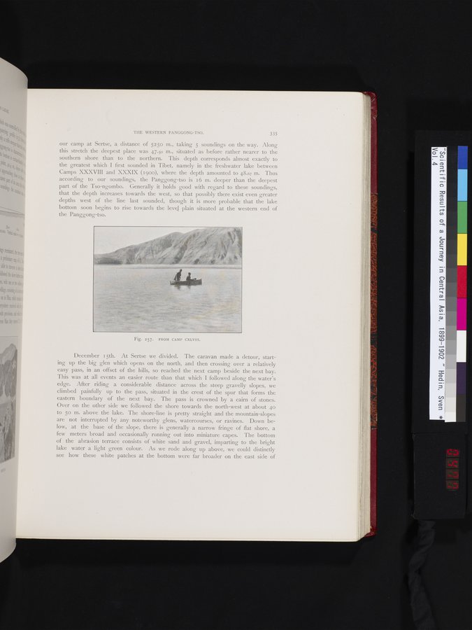
Fig. 257. FROM CAMP CXLVIII.
|
Copyright (C) 2003-2019 National Institute of Informatics and The Toyo Bunko. All Rights Reserved.