National Institute of Informatics - Digital Silk Road Project
| |||||||||
|
| Scientific Results of a Journey in Central Asia, 1899-1902 : vol.4 |
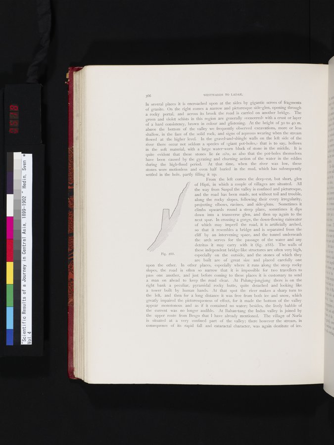 |
Fig. 288.
li!
41,
366 WESTWARDS TO LADAK.
In several places it is encroached upon at the sides by gigantic screes of fragments of granite. On the right comes a narrow and picturesque side-glen, opening through a rocky portal, and across its brook the road is carried on another bridge. The green and violet schists in this region are generally »veneered» with a crust or layer of a hard consistency, brown in colour and glistening. At the height of 3o to 40 m. above the bottom of the valley we frequently observed excavations, more or less shallow, in the face of the solid rock, and signs of aqueous wearing when the stream flowed at the higher level. In the gravel-and-shingle walls on the left side of the river there occur not seldom a species of »giant pot-holes,» that is to say, hollows in the soft material, with a large water-worn block of stone in the middle. It is quite evident that these stones lie in site, as also that the pot-holes themselves have been caused by the gyrating and churning action of the water in the eddies during the high-flood period. At that time, when the river was low, these stones were motionless and even half buried in the mud, which has subsequently settled in the hole, partly filling it up.
From the left comes the deep-cut, but short, glen of Hipti, in which a couple of villages are situated. All the way from Saspul the valley is confined and picturesque, and the road has been made, not without toil and trouble, along the rocky slopes, following their every irregularity, projecting elbows, ravines, and side-glens. Sometimes it climbs upwards round a steep place, sometimes it dips down into a transverse glen, and then up again to the next spur. In crossing a gorge, the down-flowing rainwater of which may imperil the road, it is artificially arched, so that it resembles a bridge and is separated from the cliff by an intervening space, and the tunnel underneath the arch serves for the passage of the water and any detritus it may carry with it (fig. 288). The walls of
these independent bridge like structures are often very high,
especially on the outside, and the stones of which they are built are of great size and placed carefully one
upon the other. In other places, especially where it runs along the steep rocky slopes, the road is often so narrow that it is impossible for two travellers to pass one another, and just before coming to these places it is customary to send a man on ahead to keep the road clear. At Pulung-jungjung there is on the right bank a peculiar, pyramidal rocky butte, quite detached and looking like a tower built by human hands. At that spot the river makes a sharp turn to the left, and then for a long distance it was free from both ice and snow, which greatly impaired the picturesqueness of effect, for it made the bottom of the valley appear monotonous and as if it contained no water; besides, the lively babble of the current was no longer audible. At Bahan-tang the Indus valley is joined by the upper route from Besgo that I have already mentioned. The village of Nurla is situated at a very confined part of the valley; there however the stream, in consequence of its rapid fall and cataractal character, was again destitute of ice.
|
Copyright (C) 2003-2019 National Institute of Informatics and The Toyo Bunko. All Rights Reserved.