National Institute of Informatics - Digital Silk Road Project
| |||||||||
|
| Scientific Results of a Journey in Central Asia, 1899-1902 : vol.4 |
 |
156 WESTWARDS TO LADAK.
mountains. But this rampart clearly lies at a lower elevation than that in the latitudinal valley.
Continuing on towards the south, we came down into a flat basin, containing a good deal of hard ground, underlain with thin deposits of clay. On its sides too old curved beach-lines were visible. This basin was once a bay of the lake, cutting pretty deeply in towards the east. Immediately on our right we passed a peculiar expanse of snowy white gypsum, built up into pyramids and cones 4 to 5 m. high, hundreds of them standing close together within a limited area (fig. 9o). On the south this old lacustrine bay is bordered by two minor mountain-masses stretching east and west. Several of the beach-lines round it are very distinct, although seldom so well developed as those in the latitudinal valley. On all the mountain-slopes in the vicinity beach-lines are likewise visible, often giving the former a streaky appearance. Very frequently these long dark lines can be followed with the naked eye, as they run along, horizontal and undeviatingly parallel one with the other. Judging by the eye, the highest may have been situated at about 6o m. relative altitude. Here the higher-lying beach-lines appear to have been exposed to a more active disintegration, and consequently they have been for the most part planed away.
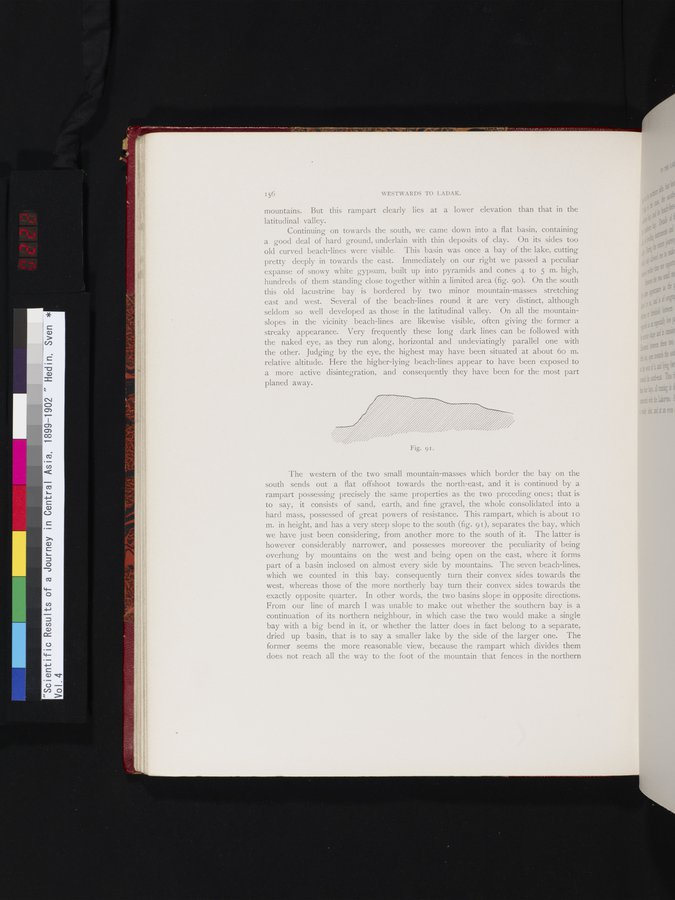
"I'he western of the two small mountain-masses which border the bay on the south sends out a flat offshoot towards the north-east, and it is continued by a rampart possessing precisely the same properties as the two preceding ones; that is to say, it consists of sand, earth, and fine gravel, the whole consolidated into a hard mass, possessed of great powers of resistance. This rampart, which is about I o m. in height, and has a very steep slope to the south (fig. 91), separates the bay, which we have just been considering, from another more to the south of it. The latter is however considerably narrower, and possesses moreover the peculiarity of being overhung by mountains on the west and being open on the east, where it forms part of a basin inclosed on almost every side by mountains. The seven beach-lines, which we counted in this bay, consequently turn their convex sides towards the west, whereas those of the more northerly bay turn their convex sides towards the exactly opposite quarter. In other words, the two basins slope in opposite directions. From our line of march I was unable to make out whether the southern bay is a continuation of its northern neighbour, in which case the two would make a single bay with a big bend in it, or whether the latter does in fact belong to a separate, dried up basin, that is to say a smaller lake by the side of the larger one. The former seems the more reasonable view, because the rampart which divides them does not reach all the way to the foot of the mountain that fences in the northern
Fig. 91.
|
Copyright (C) 2003-2019 National Institute of Informatics and The Toyo Bunko. All Rights Reserved.