National Institute of Informatics - Digital Silk Road Project
| |||||||||
|
| Scientific Results of a Journey in Central Asia, 1899-1902 : vol.4 |
 |
|
| ||||||
| ICE AND SOUNDINGS IN THE TSO-NGOMBO. 293 sketch (fig. 196), which shows the line of soundings diagonally across the narrow sound; there too the greatest depth was found nearest to the southern shore. Along the second line I took six soundings through holes in the ice, this being, as I have said, at least 13.4 and at most 15.2 cm. thick. The depths, going from south to north, were 5.12, 29.27, 29.36, 14.90, 9.37, and 8.40 m. At the distance of about 8o m. from the southern shore there was a shallow, which approached close to the surface, and was easily visible through the ice. If now we bear in mind the considerable area of the vertical section which belongs to the narrow passage, and remember how small is the inflow into the lake from rivers and brooks at the season we are considering, it is not surprising that the movement of the current through the passage should be so infinitesimally slight, and that it should in no way serve as a hindrance to the formation of ice. | ||||||
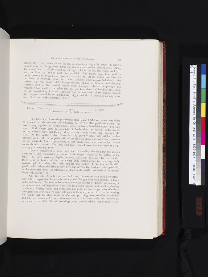
| Fig. 197 . North. 2 8.50 | 29.70 2 5.30 South. Breadth = 1,498 m. Scale = r : 10,000. | |||||
| The third line of soundings stretches from Camp CXLII on the northern shore to a cape on the southern shore bearing S. 1o° W. The profile shows that the lake is very regular and trough-shaped, being in fact a latitudinal valley filled with water. Both shores here are destitute of flat beaches, but descend pretty steeply to the water's edge, and then go down equally steeply to the great depths in the lake. On the southern shore there is a big gravelly scree, with balghun bushes growing on it. On the opposite side of the lake our camp stood on a tiny expansion of the relatively level strip of shore, a part which some time or other had served as an abrasion terrace. The three soundings which I took here measured 28.5, 29.7 and 25.3 m. (see fig. 197). Upon a comparison of these three lines of soundings the thing that first arrests attention is the remarkable evenness of the deepest trough at the bottom of the lake. The three maximum depths are 30.00, 29.36, and 29.70 m. This proves that there is at the bottom of the lake a deep gully corresponding to the energetically eroded bed of a river, but both broader and leveller. In the case of the third profile, taken where the lake is only 1 1/2 km. across, the levelness holds good also of the transverse lines, the difference of depth in the middle two-thirds of the breadth being only about 3 m. On the 4th December we travelled along the eastern side of the mountain-spur that is impassable for camels and can only be got over with difficulty by laden mules and horses. The weather however carne to our assistance. During the past night the temperature had dropped to — 20°; the ice ground together and rumbled, showing that it was freezing sharp, and every now and again we heard reports like rifle-shots when gaps and crevices were being split open in the newly formed ice. In the morning we found, that the thin sheets of the day preceding were considerably thicker and that the spaces which were then open water, the spaces which had allowed us to measure the third line of soundings, were covered with a thin coating of ice. | ||||||
|
Copyright (C) 2003-2019 National Institute of Informatics and The Toyo Bunko. All Rights Reserved.