National Institute of Informatics - Digital Silk Road Project
| |||||||||
|
| Scientific Results of a Journey in Central Asia, 1899-1902 : vol.4 |
 |
ti
HYPSOMETRY AND RELIEF OF THE TIBETAN PLATEAU.
587
my itinerary did not coincide with theirs, nevertheless I look upon this zone as simply one, even though it may be . spoken of as three. In point of actual fact however the meridional strip as defined above has been traversed by six routes, namely from north to south by Wellby, Bower, Nain Singh, Littledale, myself, and Nain Singh again, and to these must be added a seventh route by Ryder and Rawling, though their itinerary seems very nearly to coincide with that of Nain Singh. For the present it will suffice to compare together four of these, namely Wellby's, Bower's, my own, and Nain Singh's.
Within the limits defined, 82° to 86° E. long., we have so much of Wellby's route as intervened between his Camp • No. 3o and Camp No. 55. For these twenty-six stations we get a mean altitude of 5131 m. Between the same meridians comes that portion of Bower's route which stretches from his Camp No. 10 to his Camp No. 36, and the mean of thirty-one altitudes amounts to 5125 m. Of my own journey the section from Camp XCIV to Camp CXIX falls within the same limits, and the mean of seventy measured altitudes amounts to 4780 m. On those maps of Nain Singh's route alongside the Tsangpo to which I have at this moment access only three stations are entered, and the mean of these is 4502 m. The result of these calculations is that the base or socle of the plateau slopes downwards from north to south, at first slowly though afterwards more rapidly. The first two figures call however for a word of explanation. Wellby's route follows faithfully, as mine does, the latitudinal valleys, without crossing over a single pass of the first magnitude. Bower's route, on the other hand, which runs towards the south-east, crosses of necessity over several of the mountain-ranges which stretch east or east-south-east. It is therefore not legitimate to compare without further qualification the total altitudes of the two routes one with the other; and if we desire to obtain
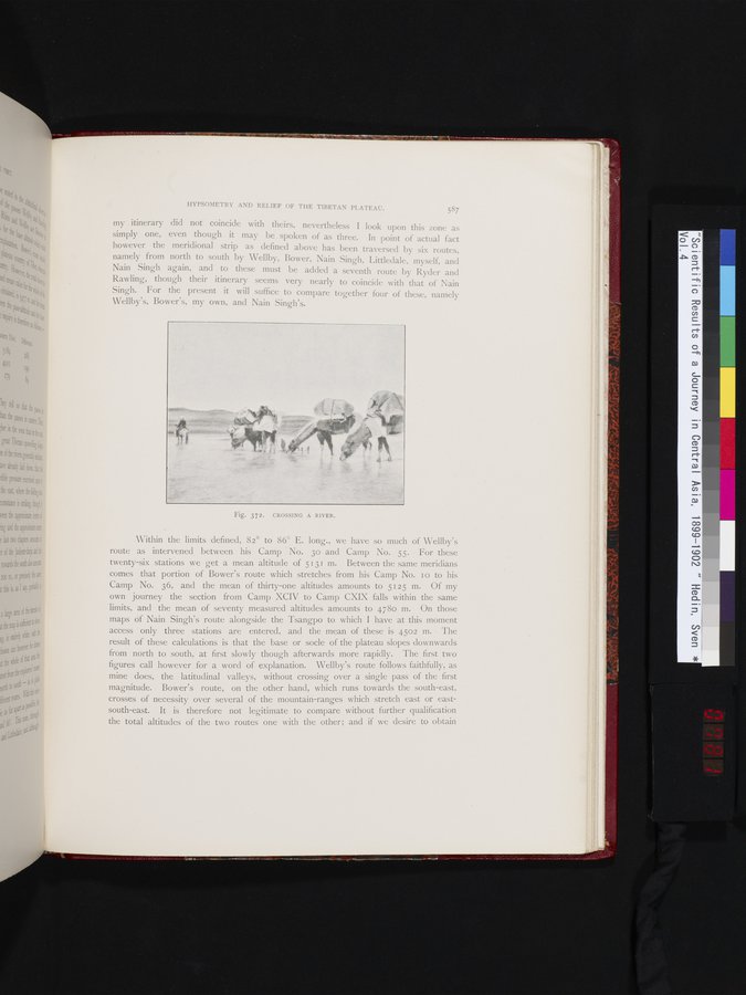
Fig. 372. CROSSING A RIVER.
|
Copyright (C) 2003-2019 National Institute of Informatics and The Toyo Bunko. All Rights Reserved.