National Institute of Informatics - Digital Silk Road Project
| |||||||||
|
| Scientific Results of a Journey in Central Asia, 1899-1902 : vol.4 |
 |
4
46
FROM CENTRAL TIBET TO LADAK.
there was a river, either entering the lake or issuing from it, but I had no opportunity of satisfying myself with regard to this. In the S. 39° W. there was a large glen opening upon the lake. In the S. 51° W. a small rounded rocky island rose above the water, and west of the same appeared a large expanse of land which I of course took for an island. Between the two, this expanse of land and the island, runs a sound, and towards it we directed our course. On the south the scene was shut in by a high dominating, snow-capped mountain-range, extending mainly east and west. To the N. 68° W. lay the most northerly promontory of the large insular-looking piece of land ; and between the promontory and the N. 53° W. stretched one of the biggest of the lake's large open fjords. From N. 53° W. to N. 46° W.
it
~
lay the double island which we had previously seen from the northern shore. To the north-west and north-north-west runs that part of the northern shore along which we travelled in order to reach Camp LXXVIII. Almost every ridge and chain in the region, equally whether forming short, broken, detached masses or hanging together in more continuous ranges, turns a perpendicular or steep face towards the south, whereas the northern slopes are as a rule gentle as well as covered with earth. This is especially true of the chains and ridges which rise on the two islands that we touched at in the course of the day's paddle. The rock, which was close-grained, rather brittle and crisp, and was possibly limestone (vide the petrographical section of this work), clipped 47° towards the N. 43° W. The outcrop therefore faced the south-east; consequently the southern side is relatively more exposed to weathering. If this predominant form of relief be considered in connection with a possible former wide extension of the glaciers which would have their source of origin south and south-west of the Naktsong-tso, the natural expectation would be
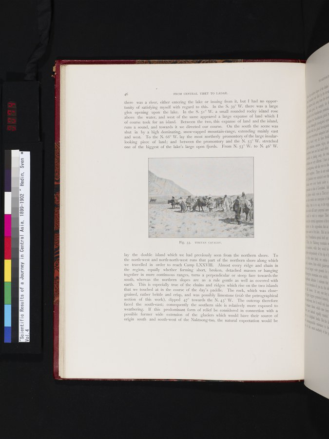
Fig. 33. TIBETAN CAVALRY.
|
Copyright (C) 2003-2019 National Institute of Informatics and The Toyo Bunko. All Rights Reserved.