National Institute of Informatics - Digital Silk Road Project
| |||||||||
|
| Scientific Results of a Journey in Central Asia, 1899-1902 : vol.4 |
 |
280 WESTWARDS TO LADAK.
È
As the offshoots of the mountains
now plunged very steeply into the lake, we
Fi s. were compelled to keep close to the water's
g• 7
edge, there being only just room for the
path on the narrow scree of gravel and small stones which has been formed at their base. The gravel was as a rule sharp-edged, and in some places we had to prepare the path for the camels, and lead them cautiously one by one. After we had in this way advanced a space towards the south, passing on our left, that is on the east side of the bay, one or two rocky headlands, the shore-line turned abruptly west, and again we had to follow its every indentation and headland; but between the mountain offshoots there occurred every now and again short stretches of soft level ground. The lake was there narrow, seldom more than two kilometers across, and its southern shore was backed by rugged and picturesque mountains of some magnitude. The scenery was magnificent; fresh views continued to unfold
themselves unceasingly towards the west. The long-drawn-out narrow lake, the Tso-ngombo proper, or according to the recently mentioned English map the Nyak-tso, is more like a big river winding down its valley and fenced in on both sides by magnificent, boldly sculptured crags, above which conspicuous pyramidal peaks soar up at intervals. Here where the lake is so narrow, it appeared to possess a relatively great depth, though next the shore there was a strip of shallow water 2 to i o m. broad, in which one or two belts of Algae were growing. But beyond that, really the continuation of the gravelly scree, the water turned suddenly dark green, a sign of an abrupt descent to greater
depths. Unfortunately owing to the hard west wind I was not able to sound this part of the lake. It still continued however to be open, and it was only in the more sheltered bays that a narrow ribbon of ice had formed along the shore: it consisted of wind-driven broken ice, cemented together by thinner recent formations.
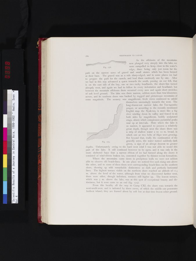
Where the mountains came down in precipitous walls we were not seldom able to observe old beach-lines. In one place we noticed five such rising one above the other, and to some of them there were corresponding beach-lines on the southern shore, showing up with remarkable distinctness as dark and perfectly horizontal lines. The highest terrace visible on the northern shore reached an altitude of i 1.5 m. above the level of the water, although from what we discovered farther west, there were other, though indistinct, terraces still higher up. The lowest terrace, which was 5 m. above the lake, was at this spot of exceptional beauty and distinctness, but it soon came to an end (fig. 179).
From this locality all the way to Camp CXL the shore runs towards the west-south-west, and is indented by three coves, of which the middle one penetrates farthest inland; they are framed about by soft but at that time frozen schor ground.
Fig. 179.
|
Copyright (C) 2003-2019 National Institute of Informatics and The Toyo Bunko. All Rights Reserved.