National Institute of Informatics - Digital Silk Road Project
| |||||||||
|
| Scientific Results of a Journey in Central Asia, 1899-1902 : vol.4 |
 |
|
| • | |
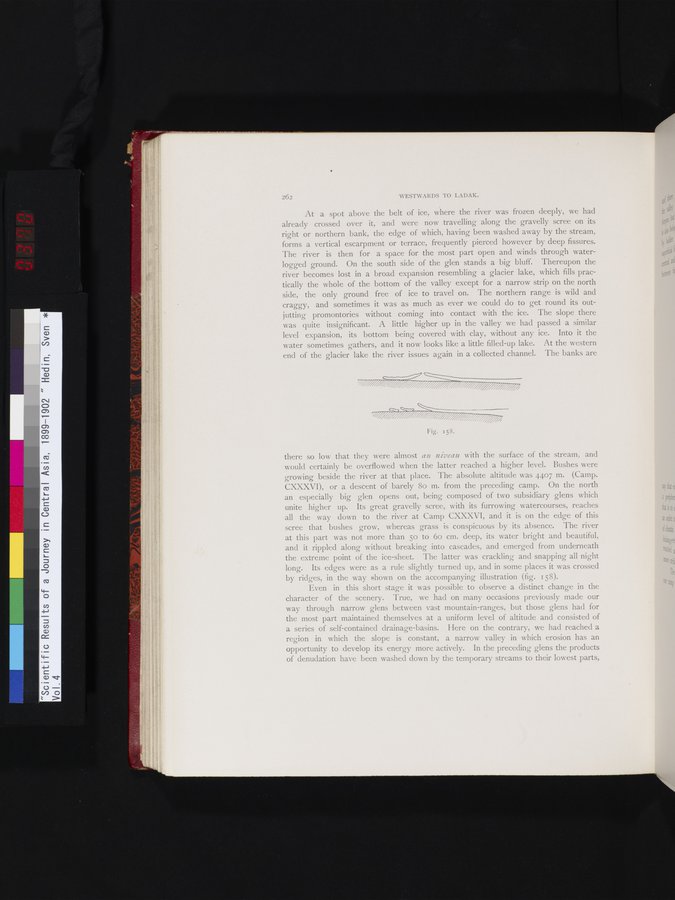
| 262 WESTWARDS TO LADAK. At a spot above the belt of ice, where the river was frozen deeply, we had already crossed over it, and were now travelling along the gravelly scree on its right or northern bank, the edge of which, having been washed away by the stream, forms a vertical escarpment or terrace, frequently pierced however by deep fissures. The river is then for a space for the most part open and winds through waterlogged ground. On the south side of the glen stands a big bluff. Thereupon the river becomes lost in a broad expansion resembling a glacier lake, which fills practically the whole of the bottom of the valley except for a narrow strip on the north side, the only ground free of ice to travel on. The northern range is wild and craggy, and sometimes it was as much as ever we could do to get round its out-jutting promontories without coming into contact with the ice. The slope there was quite insignificant. A little higher up in the valley we had passed a similar level expansion, its bottom being covered with clay, without any ice. Into it the water sometimes gathers, and it now looks like a little filled-up lake. At the western end of the glacier lake the river issues again in a collected channel. The banks are | ||
| Fig. 158. there so low that they were almost au niveau with the surface of the stream, and would certainly be overflowed when the latter reached a higher level. Bushes were growing beside the river at that place. The absolute altitude was 4407 m. (Camp. CXXXVI), or a descent of barely 8o m. from the preceding camp. On the north an especially big glen opens out, being composed of two subsidiary glens which unite higher up. Its great gravelly scree, with its furrowing watercourses, reaches all the way down to the river at Camp CXXXVI, and it is on the edge of this scree that bushes grow, whereas grass is conspicuous by its absence. The river at this part was not more than 5o to 6o cm. deep, its water bright and beautiful, and it rippled along without breaking into cascades, and emerged from underneath the extreme point of the ice-sheet. The latter was crackling and snapping all night long. Its edges were as a rule slightly turned up, and in some places it was crossed by ridges, in the way shown on the accompanying illustration (fig. i 58). Even in this short stage it was possible to observe a distinct change in the character of the scenery. True, we had on many occasions previously made our way through narrow glens between vast mountain-ranges, but those glens had for the most part maintained themselves at a uniform level of altitude and consisted of a series of self-contained drainage-basins. Here on the contrary, we had reached a region in which the slope is constant, a narrow valley in which erosion has an opportunity to develop its energy more actively. In the preceding glens the products of denudation have been washed down by the temporary streams to their lowest parts, |
|
Copyright (C) 2003-2019 National Institute of Informatics and The Toyo Bunko. All Rights Reserved.