National Institute of Informatics - Digital Silk Road Project
| |||||||||
|
| Scientific Results of a Journey in Central Asia, 1899-1902 : vol.4 |
 |
I
370
WESTWARDS TO LADAN.
The next day took us down the glen of the Wakkha to Kärgil (Kurgil), the only change in the scenery being that the glen grew more accentuated the farther we advanced down it. At Kärgil, which is an important village, with relatively rich cultivation, we were again in the midst of immense, grandiose mountains, surrounding us on every side. The river there, after its junction with the Suru, makes a pretty large stream, even in winter, and it would not be quite easy to cross over it without the wooden bridge, for which however an iron bridge was just then being substituted. In the summer it makes quite an imposing river, and especially a little lower down, after it has been joined by the united Dras and Shingo. In fact all the watercourses exhibit the most palpable evidences of a very lively erosive activity,
~
~
such as can only be produced by immense volumes of water. The sight of tributaries of this character, and the reflection that these are only a very few out of the vast number which enter the Indus from both sides, suggest some idea of the enormous dimensions to which that river must swell in the summer. Here we have in emphasised relief all the essential characteristics of the peripheral region. The country which we had then reached is the recipient of an incomparably greater abundance of rainfall than the relatively flat and protected highlands of Tibet. Here too aqueous erosion has given rise to a morphology in the vertical which has little in common with that of high Tibet, with its small and insignificant streams terminating in flat salt-basins, its filled-up valleys and depressions, and its levelled-down mountains.
The valleys of the rivers Suru and Dras are separated from one another by an immense mountain-spur, on the flank of which the road runs as far as Karbu. After that it continues downwards some way until it reaches the confluence, and
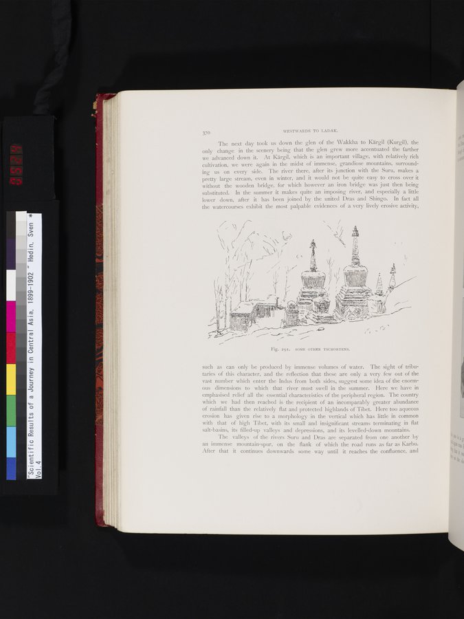
Fig. 291. SOME OTHER TSCHORTENS.
|
Copyright (C) 2003-2019 National Institute of Informatics and The Toyo Bunko. All Rights Reserved.