National Institute of Informatics - Digital Silk Road Project
| |||||||||
|
| Scientific Results of a Journey in Central Asia, 1899-1902 : vol.4 |
 |
266 WESTWARDS TO LADAK.
still continued, although interrupted for short distances. The path leads to the temple village of Noh. The sheep caravans to and from Ladak are said to use this path from time to time in the summer.
On the right issues a spring-fed rivulet yielding a fair amount of water. We pitched Camp CXXXVII at the base of a big gravel-and-shingle terrace, forming the edge of one of the usual gravelly screes. The boldness of the relief rendered the scenery attractive. The altitude amounted to 4322 m., or only a few meters higher than the Tso-ngombo and the Panggong-tso. Near our camp the rock consisted of dense, dark limestone, its dip being very distinct at 57° towards the S. 35° E.
r~,
On 28th November we continued our march down the valley, still keeping to the right bank of the Tsanger-schar. The surface generally consisted now of yellow clay and dust, fluvial mud which settled when the river was at a higher level, and broad reaches of the valley were inundated and in part also converted into marsh. The balghun bushes still continued to appear, although more scantily. The valley itself was all the time narrow, though somewhat broader than hitherto, owing to the range on the north having receded. The space between the foot of the range and the river is filled with gravelly screes, all showing persistently the same steep, shorn edge, frequently gapped by gullies and watercourses, which looked like dark, narrow gateways. Here again the river creeps close in to the foot of the southern mountains. The water that came from a spring on the right side of the valley had a temperature of + 4.5°. On the south is the outlet of a larger glen, which higher up appeared to run to some extent parallel with our valley. Beyond that rises the great precipitous bluff, at the western foot of which the village of Noh is situated. The river hugs closely the northern foot of the precipice. On the right bank of the river comes a relatively wide flat, plentifully overgrown with bushes, some of
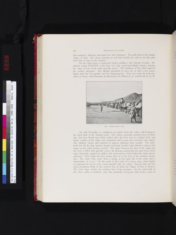
I62. APPROACHING NOH.
|
Copyright (C) 2003-2019 National Institute of Informatics and The Toyo Bunko. All Rights Reserved.