National Institute of Informatics - Digital Silk Road Project
| |||||||||
|
| Scientific Results of a Journey in Central Asia, 1899-1902 : vol.4 |
 |
THE OMAN-1'SO, THE DADAP-TSO, AND THE PERUTSE-TSO. 197
On the northern shore of the Oman-tso old strand-terraces are again distinctly visible. In number they are four, and lie quite close to one another (fig. I i 3). The upper-most is the biggest, as at the Lakor-tso, but its relative altitude above the lake is only about 25 m. All four terraces can be distinctly traced to the western end of the lake; there the three lowest ones come to an end, while the uppermost one continuous a little bit farther, and then it too ceases. On the flat strip of yellow clay, extremely low and narrow, that occupies the space between the recently mentioned gravelly scree and the foot of the northern range, there is again a distinctly defined terrace, which is no doubt identical with the uppermost of the four terraces that I have just spoken of. But the beach-line ceases before even the strip of clay
t
thins away in the west. Here a temporary lake is formed when water comes down the big transverse glen. The differences of altitude in the latitudinal valley are very slight and the results given by the aneroids cannot in such cases be relied upon. There can however be no doubt, it seems to me, that the strip of clay lies higher than the marsh and the pools, that these lie a shade higher than the Oman-tso, and that the Dadap-tso is consequently the last reservoir of the drainage of the locality. At the time when the uppermost terrace, nay even when the lower terraces formed the shore-line, all these different basins were, as I have already said, connected together and formed a salt lake. But after the Oman-tso was cut off, its water turned fresh, a fact which points to its having a subterranean emissary. Even then, winter though it was, the lake was receiving, I suppose, a certain amount of water from the marshes and pools which lie immediately west of it, where the springs issue. With regard to the temporary lake, then indicated by a flat expanse of clay only, it hardly seems to possess any outflow into the Oman-tso, for I failed to detect in that part of the latitudinal valley any traces of an eroded
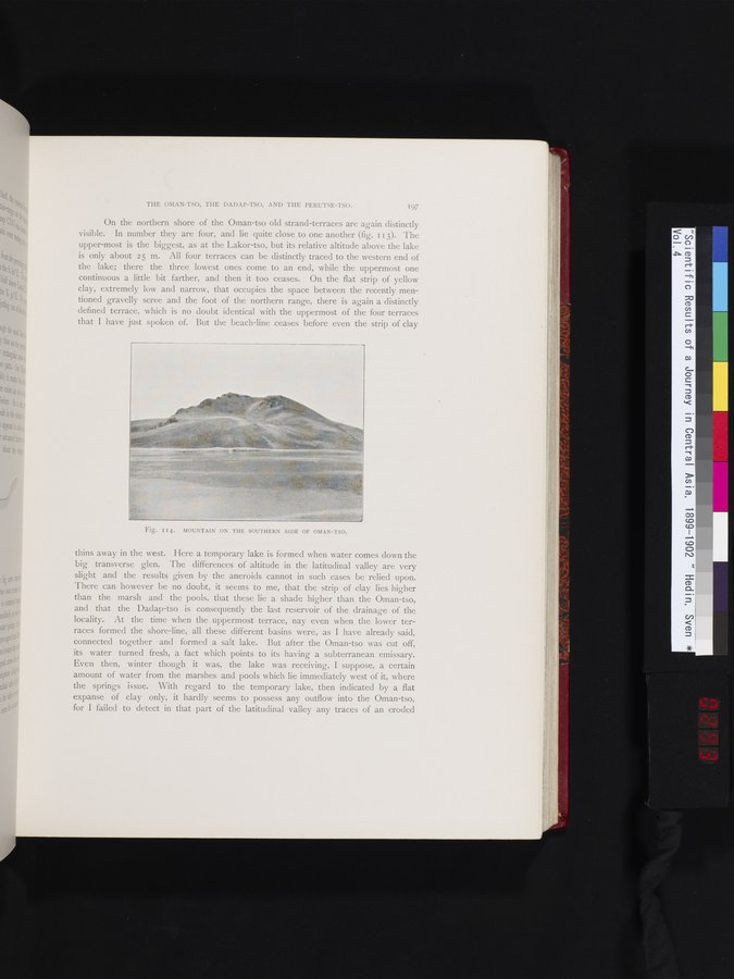
Fig. I14. MOUNTAIN ON THE SOUTHERN SIDE OF OMAN-TSO.
|
Copyright (C) 2003-2019 National Institute of Informatics and The Toyo Bunko. All Rights Reserved.