National Institute of Informatics - Digital Silk Road Project
| |||||||||
|
| Scientific Results of a Journey in Central Asia, 1899-1902 : vol.4 |
 |
FROM TIIE LAKOR-TSO TO THE BONDSCHING-TSO.
173
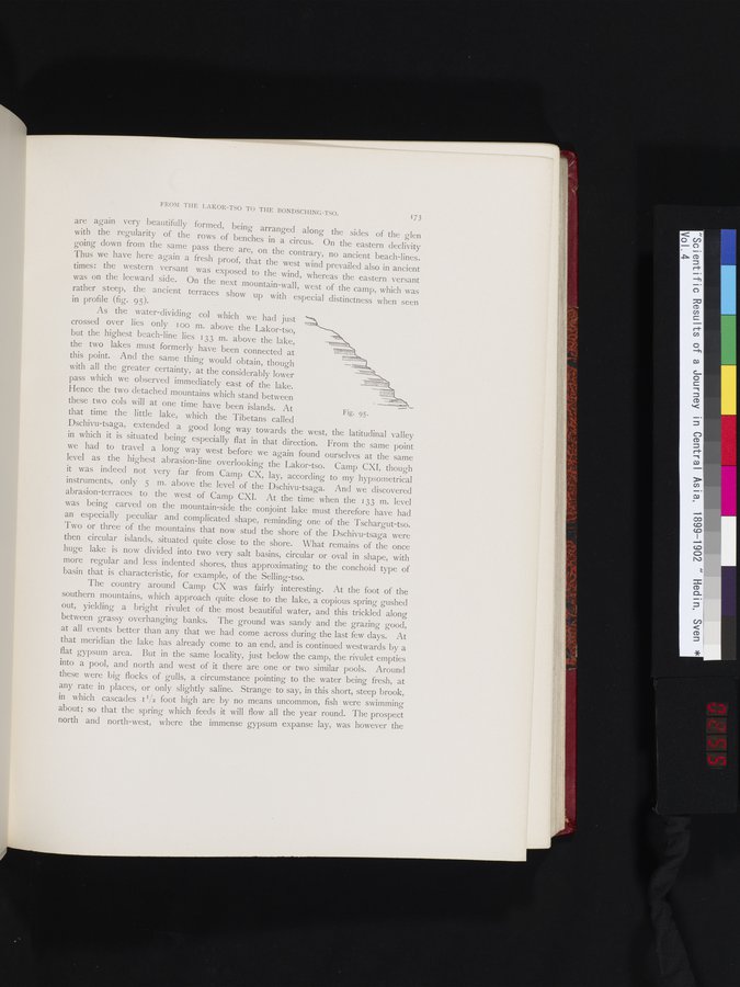
are again very beautifully formed, being arranged along the sides of the glen with the regularity of the rows of benches in a circus. On the eastern declivity going down from the same pass there are, on the contrary, no ancient beach-lines. Thus we have here again a fresh proof, that the west wind prevailed also in ancient times: the western versant was exposed to the wind, whereas the eastern versant was on the leeward side. On the next mountain-wall, west of the camp, which was rather steep, the ancient terraces show up with especial distinctness when seen
in profile (fig. 95).
As the water-dividing col which we had just crossed over lies only too m. above the Lakor-tso, but the highest beach-line lies 133 m. above the lake, the two lakes must formerly have been connected at this point. And the same thing would obtain, though with all the greater certainty, at the considerably lower pass which we observed immediately east of the lake. Hence the two detached mountains which stand between these two cols will at one time have been islands. At that time the little lake, which the Tibetans called
Dschivu-tsaga, extended a good long way towards the west, the latitudinal valley in which it is situated being especially flat in that direction. From the same point we had to travel a long way west before we again found ourselves at the same level as the highest abrasion-line overlooking the Lakor-tso. Camp CXI, though it was indeed not very far from Camp CX, lay, according to my hypsometrical instruments, only 5 nl. above the level of the Dschivu-tsaga. And we discovered abrasion-terraces to the west of Camp CXI. At the time when the 133 m. level was being carved on the mountain-side the conjoint lake must therefore have had an especially peculiar and complicated shape, reminding one of the Tschargut-tso. Two or three of the mountains that now stud the shore of the Dschivu-tsaga were then circular islands, situated quite close to the shore. What remains of the once huge lake is now divided into two very salt basins, circular or oval in shape, with more regular and less indented shores, thus approximating to the conchoid type of basin that is characteristic, for example, of the Selling-tso.
The country around Camp CX was fairly interesting. At the foot of the southern mountains, which approach quite close to the lake, a copious spring gushed out, yielding a bright rivulet of the most beautiful water, and this trickled along between grassy overhanging banks. The ground was sandy and the grazing good, at all events better than any that we had come across during the last few days. At that meridian the lake has already come to an end, and is continued westwards by a flat gypsum area. But in the same locality, just below the camp, the rivulet empties into a pool, and north and west of it there are one or two similar pools. Around these were big flocks of gulls, a circumstance pointing to the water being fresh, at any rate in places, or only slightly saline. Strange to say, in this short, steep brook, in which cascades i I/2 foot high are by no means uncommon, fish were swimming about; so that the spring which feeds it will flow all the year round. The prospect north and north-west, where the immense gypsum expanse lay, was however the
Fig. 95.
|
Copyright (C) 2003-2019 National Institute of Informatics and The Toyo Bunko. All Rights Reserved.