National Institute of Informatics - Digital Silk Road Project
| |||||||||
|
| Scientific Results of a Journey in Central Asia, 1899-1902 : vol.4 |
 |
THE TSOLLA-RING-TSO AND THE LUMA-RING-TSO. 207
During the course of the day we passed a very flat, scarcely noticeable threshold, forming a water-divide, which possesses a certain amount of hydrographical and morphological interest. According to my hypsometrical instruments, our camp at Harschu lay at an altitude of 4454 m., and our camp beside the Perutse-tso at 4497 m., while the dividing threshold reached 4503 m. During the course of the next day's march from Harschu we went down something over a score more meters, that is to the edge of the next depression, occupied by the lake of Tsolla-ring-tso. This lake has, as we shall see, reached an even more advanced stage of desiccation than the Perutse-tso. It almost looks however as if both depressions had once been connected together, and so formed a single long lake, and indeed they are situated in one and the same latitudinal valley. If the three altitudes which I have just quoted are anything like trustworthy, the differences of elevation are here very slight. The altitude of the Perutse-tso is in particular relatively sound, because the observations taken there were spread over a space of four days. The altitude of both lakes was determined with a boiling-point thermometer and three aneroids, but the altitude of the
pass by the aneroids only. The threshold-pass lies then only 6 m. above Camp CXVII, which itself stood at the most only 4 In. above the Perutse-tso, so that the difference between the threshold and the lake is only to m. Now the strand-terraces beside the same lake reach up to 39 m. above its present level ; whence it follows that it was only the lowest of them, No. 1, which belonged exclusively to the basin of the Perutse-tso; the other four must have
belonged to the higher terraces of the Tsolla-ring-tso, and consequently must have run along the foot not only of the mountains on the south but also of those on the north. One of these continuing terraces we did indeed observe just above the second belt of balghun bushes. A rise of only to m. in the level of the Perutse-tso would suffice to cause its water to flow across the threshold; but to produce the same effect, it would require a rise of 49 m. in the depression itself and in the lake of Harschu, and of 69 m. in the Tsolla-ring-tso: that is to say, when the two lakes, the Perutse-tso and the Tsolla-ring-tso, were united, the basin of the latter would be 69 m. deeper than the basin of the former. In other words, its subsidence and desiccation have proceeded at a much faster rate, seeing that the level at Harschu is now 49 m. lower than the pass. Nor is there anything surprising in the level of the western and deepest part of the former long lake having dropped at a much quicker rate than the eastern part; the difference admits of easy explanation. At the present time the basin of the Tsolla-ring-tso is not entered by a single affluent, if we disregard a couple of tiny rivulets that issue from springs. But the Perutse-tso, on the contrary, is not only entered by a great number of spring-fed rivulets, but it also receives a river, the Ombo-tsangpo, which even contributes water in the winter. Nor are these relations certainly altered during the warm season of the year, and
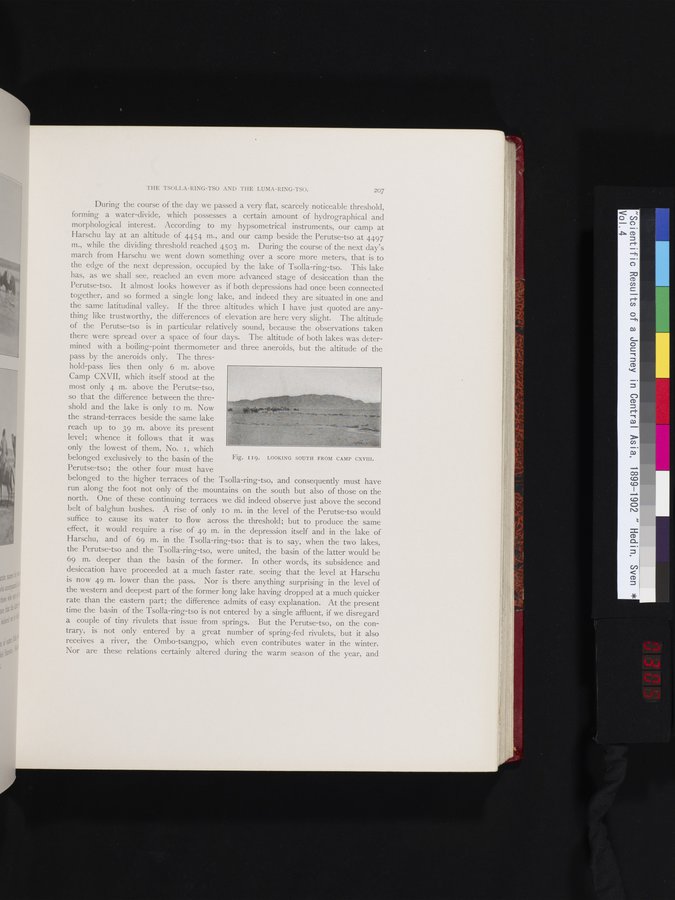
Fig. 119. LOOKING SOUTH FROM CAMP CXVIII.
|
Copyright (C) 2003-2019 National Institute of Informatics and The Toyo Bunko. All Rights Reserved.