National Institute of Informatics - Digital Silk Road Project
| |||||||||
|
| Scientific Results of a Journey in Central Asia, 1899-1902 : vol.4 |
 |
FROM MT ERENAK-TSCHIMO TO MT SCHA-GANDSCHUM.
139
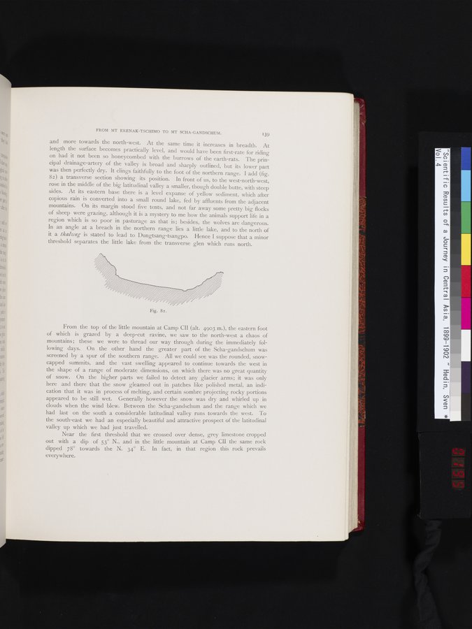
and more towards the north-west. At the same time it increases in breadth. At length the surface becomes practically level, and would have been first-rate for riding on had it not been so honeycombed with the burrows of the earth-rats. The principal drainage-artery of the valley is broad and sharply outlined, but its lower part was then perfectly dry. It clings faithfully to the foot of the northern range. I add (fig. 82) a transverse section showing its position. In front of us, to the west-north-west, rose in the middle of the big latitudinal valley a smaller, though double butte, with steep sides. At its eastern base there is a level expanse of yellow sediment, which after copious rain is converted into a small round lake, fed by affluents from the adjacent mountains. On its margin stood five tents, and not far away some pretty big flocks of sheep were grazing, although it is a mystery to me how the animals support life in a region which is so poor in pasturage as that is; besides, the wolves are dangerous. In an angle at a breach in the northern range lies a little lake, and to the north of it a thalweg is stated to lead to Dungtsang-tsangpo. Hence I suppose that a minor threshold separates the little lake from the transverse glen which runs north.
Fig. 82.
From the top of the little mountain at Camp CII (alt. 4903 m.), the eastern foot of which is grazed by a deep-cut ravine, we saw to the north-west a chaos of mountains ; these we were to thread our way through during the immediately following days. On the other hand the greater part of the Scha-gandschum was screened by a spur of the southern range. All we could see was the rounded, snowcapped summits, and the vast swelling appeared to continue towards the west in the shape of a range of moderate dimensions, on which there was no great quantity of snow. On the higher parts we failed to detect any glacier arms; it was only here and there that the snow gleamed out in patches like polished metal, an indication that it was in process of melting, and certain sombre projecting rocky portions appeared to be still wet. Generally however the snow was dry and whirled up in clouds when the wind blew. Between the Scha-gandschum and the range which we had last on the south a considerable latitudinal valley runs towards the west. To the south-east we had an especially beautiful and attractive prospect of the latitudinal
valley up which we had just travelled.
Near the first threshold that we crossed over dense, grey limestone cropped out with a dip of 53° N., and in the little mountain at Camp CII the same rock dipped 78° towards the N. 34° E. In fact, in that region this rock prevails
everywhere.
|
Copyright (C) 2003-2019 National Institute of Informatics and The Toyo Bunko. All Rights Reserved.