National Institute of Informatics - Digital Silk Road Project
| |||||||||
|
| Scientific Results of a Journey in Central Asia, 1899-1902 : vol.4 |
 |
'l.
CHAPTER VIII.
TRAVELLING BESIDE THE BOGTSANG-TSANGPO.
September 28th. West and south-west of the Dagtse-tso (called Tuktsitukar-tso on Littledale's map) three parallel latitudinal valleys can be clearly distinguished. So far as one can judge from Littledale's map, he appears to have travelled along the most northerly of these and to have crossed the river once only, and that not very far west of the lake, but after that to have left its valley for good. I, on the contrary, followed the middle valley, and in this region my route. is separated from the English traveller's by a range of moderate elevation, running on the whole from east to west and broken in places. A great part of the middle valley is occupied by the Bogtsang-tsangpo. This river in the eastern end of its valley breaks through the bordering range on the south, and flows for a short distance in the most southerly of the three latitudinal valleys, and then once more cuts its way through the same range and so returns to its original valley, along which it winds down to the lake. On the way it makes a bend to the north and appears to flow pretty close to the southern foot of the extreme eastern portion of the range which separates the middle valley from its next neighbour on the north, that is to say the same range that
separated my route from Littledale's.
Accordingly when we resumed our march from Camp XC towards the west-south-west, across the flat plain that surrounds the lake, a plain bearing thin steppe vegetation in a sporadic fashion, we soon drew away out of sight of the river, nor did we see it again until after we had entered the middle valley. At its eastern end however we crossed the river at a point where it was flowing from the S. 6° W., and where the breach is situated by which it cuts through the southern range. I had
intended faithfully following the course of the river, so as to map it throughout. The existence of the Bogtsang-tsangpo was already known, first through Nain Singh,
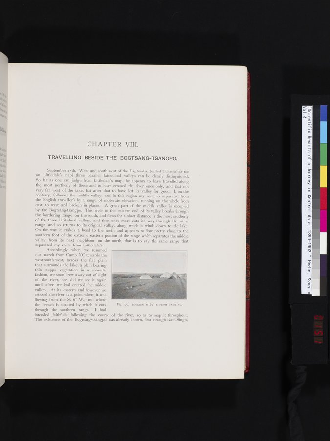
Fig. 55. LOOKING N 60° E FROM CAMP XC.
|
Copyright (C) 2003-2019 National Institute of Informatics and The Toyo Bunko. All Rights Reserved.