National Institute of Informatics - Digital Silk Road Project
| |||||||||
|
| Scientific Results of a Journey in Central Asia, 1899-1902 : vol.4 |
 |
3 I 2 WESTWARDS TO LADAK.
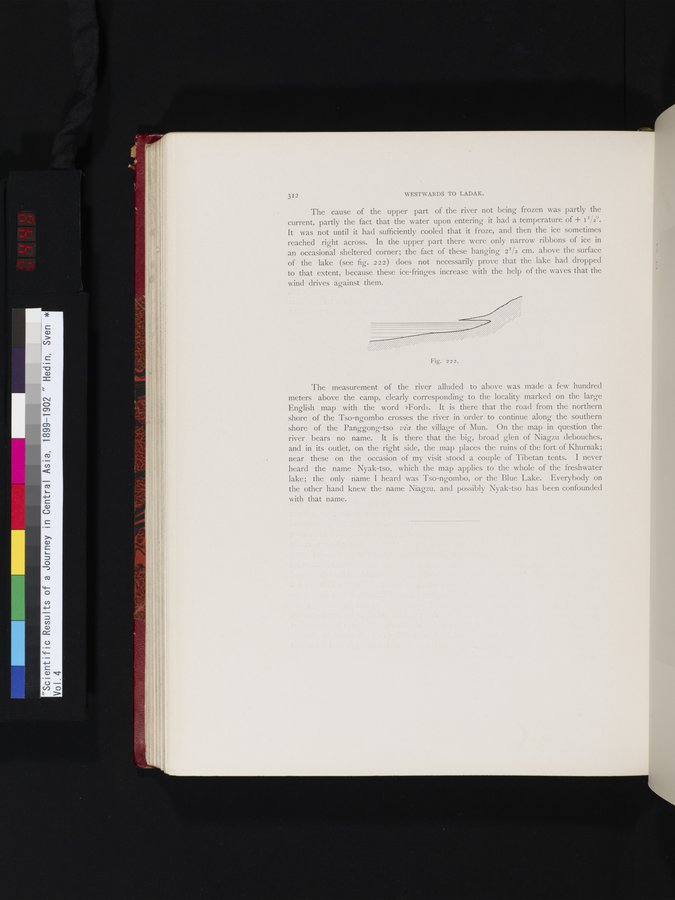
The cause of the upper part of the river not being frozen was partly the current, partly the fact that the water upon entering it had a temperature of + 0/2°. It was not until it had sufficiently cooled that it froze, and then the ice sometimes reached right across. In the upper part there were only narrow ribbons of ice in an occasional sheltered corner; the fact of these hanging 21/2 cm. above the surface of the lake (see fig. 222) does not necessarily prove that the lake had dropped to that extent, because these ice-fringes increase with the help of the waves that the wind drives against them.
r
~
Mg. 222.
The measurement of the river alluded to above was made a few hundred meters above the camp, clearly corresponding to the locality marked on the large English map with the word »Ford». It is there that the road from the northern shore of the Tso-ngombo crosses the river in 'order to continue along the southern shore of the Panggong-tso via the village of Mun. On the map in question the river bears no name. It is there that the big, broad glen of Niagzu debouches, and in its outlet, on the right side, the map places the ruins of the fort of Khurnak; near these on the occasion of my visit stood a couple of Tibetan tents. I never heard the name Nyak-tso, which the map applies to the whole of the freshwater lake; the only name I heard was Tso-ngombo, or the Blue Lake. Everybody on the other hand knew the name Niagzu, and possibly Nyak-tso has been confounded with that name.
|
Copyright (C) 2003-2019 National Institute of Informatics and The Toyo Bunko. All Rights Reserved.