National Institute of Informatics - Digital Silk Road Project
| |||||||||
|
| Scientific Results of a Journey in Central Asia, 1899-1902 : vol.4 |
 |
WESTWARDS TO LADAK.
84
and as pure as crystal, and everywhere the colour tinting was pure and attractive
to the eye.
From the pass, on which the rocks dipped 45° towards the N. 47° W., the
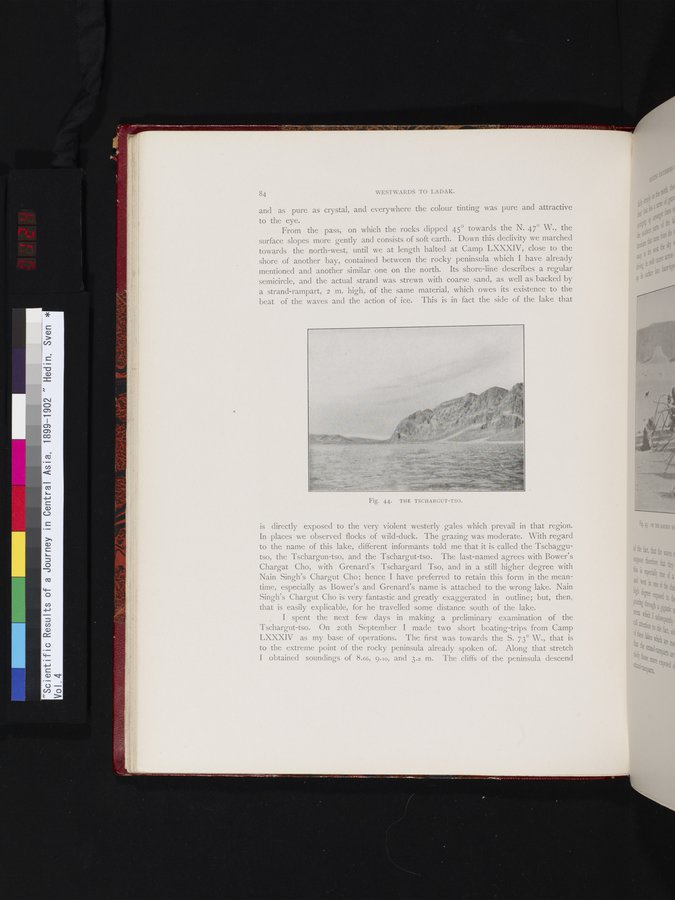
surface slopes more gently and consists of soft earth. Down this declivity we marched towards the north-west, until we at length halted at Camp LXXXIV, close to the shore of another bay, contained between the rocky peninsula which I have already mentioned and another similar one on the north. Its shore-line describes a regular semicircle, and the actual strand was strewn with coarse sand, as well as backed by a strand-rampart, 2 m. high, of the same material, which owes its existence to the beat of the waves and the action of ice. This is in fact the side of the lake that
Fig. 44. THE TSCHARCUT-TSO.
is directly exposed to the very violent westerly gales which prevail in that region. In places we observed flocks of wild-duck. The grazing was moderate. With regard to the name of this lake, different informants told me that it is called the Tschaggutso, the Tschargun-tso, and the Tschargut-tso. The last-named agrees with Bower's Chargat Cho, with Grenard's Tschargard Tso, and in a still higher degree with Nain Singh's Chargut Cho; hence I have preferred to retain this form in the meantime, especially as Bower's and Grenard's name is attached to the wrong lake. Nain Singh's Chargut Cho is very fantastic and greatly exaggerated in outline; but, then, that is easily explicable, for he travelled some distance south of the lake.
I spent the next few days in making a preliminary examination of the Tschargut-tso. On loth September I made two short boating-trips from Camp LXXXIV as my base of operations. The first was towards the S. 73° W., that is to the extreme point of the rocky peninsula already spoken of. Along that stretch I obtained soundings of 8.66, 9.10, and 3.2 m. The cliffs of the peninsula descend
|
Copyright (C) 2003-2019 National Institute of Informatics and The Toyo Bunko. All Rights Reserved.