National Institute of Informatics - Digital Silk Road Project
| |||||||||
|
| Scientific Results of a Journey in Central Asia, 1899-1902 : vol.4 |
 |
1
THE NAKTSONG-TSO — EAST AND SOUTH.
41
itself acts as a dam. We stopped for the night at the head of the bay, quite close to the shore, in a locality where there was grazing, and also a nomad encampment.
Thus by following the shore-line we had made a considerable detour; for we found out that the Tibetan cavalry who accompanied us had pursued a more northerly route amongst the minor mountains on the isthmus between the two lakes. On our way back, as it was now the Tibetans' interest to show us the best road, they guided the caravan by that nearer track and took it through a country that was easy, though broken. This was, I have no doubt, the road by which Bower travelled, for according to his map he proceeded at some distance from the lake. That he was unable to form any idea as to its shape and extent is quite excusable;
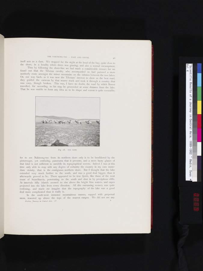
Fig. 28. TIIE SAME.
for to see Naktsong-tso from its northern shore only is to be bewildered by the picturesque, yet confusing, panorama that it presents, and a mere hasty glance of that kind is not sufficient to unriddle its topographical secrets. Indeed I was at this time only able to map with any degree of certainty the country in my own immediate vicinity, that is the contiguous northern shore. But I thought that the lake extended very much farther to the south, and was a good deal bigger, than it afterwards proved to be. There appeared to be true fjords, like those of the west coast of Scandinavia, penetrating to the south and shut in by precipitous cliffs. At intervals hilly islands seemed to rise above the bright blue waters, and capes projected into the lake from every direction. All this entrancing scenery was quite confusing, and made me imagine that the topography of the lake was a good
deal more complicated than it really is.
In the south-west immense mountainous masses, capped with perpetual snow, towered up above the tops of the nearest ranges. We did not see any
6
Hedin , .7ourney in Central Asia. IV.
|
Copyright (C) 2003-2019 National Institute of Informatics and The Toyo Bunko. All Rights Reserved.