National Institute of Informatics - Digital Silk Road Project
| |||||||||
|
| Scientific Results of a Journey in Central Asia, 1899-1902 : vol.4 |
 |
ICE AND SOUNDINGS IN THE TSO-NGOMBO. 3 I I
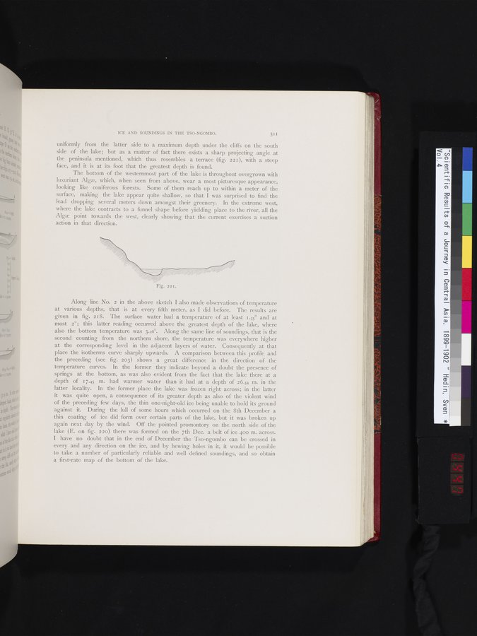
uniformly from the latter side to a maximum depth under the cliffs on the south side of the lake; but as a matter of fact there exists a sharp projecting angle at the peninsula mentioned, which thus resembles a terrace (fig. 221), with a steep face, and it is at its foot that the greatest depth is found.
The bottom of the westernmost part of the lake is throughout overgrown with luxuriant Alge, which, when seen from above, wear a most picturesque appearance, looking like coniferous forests. Some of them reach up to within a meter of the surface, making the lake appear quite shallow, so that I was surprised to find the lead dropping several meters down amongst their greenery. In the extreme west, where the lake contracts to a funnel shape before yielding place to the river, all the Alga point towards the west, clearly showing that the current exercises a suction action in that direction.
Along line No. 2 in the above sketch I also made observations of temperature at various depths, that is at every fifth meter, as I did before. The results are given in fig. 218. The surface water had a temperature of at least 1.35° and at most 2°; this latter reading occurred above the greatest depth of the lake, where also the bottom temperature was 3.28°. Along the same line of soundings, that is the second counting from the northern shore, the temperature was everywhere higher at the corresponding level in the adjacent layers of water. Consequently at that place the isotherms curve sharply upwards. A comparison between this profile and the preceding (see fig. 203) shows a great difference in the direction of the temperature curves. In the former they indicate beyond a doubt the presence of springs at the bottom, as was also evident from the fact that the lake there at a depth of 17.45 m. had warmer water than it had at a depth of 26.54 m. in the latter locality. In the former place the lake was frozen right across; in the latter it was quite open, a consequence of its greater depth as also of the violent wind of the preceding few days, the thin one-night-old ice being unable to hold its ground against it. During the lull of some hours which occurred on the 8th December a thin coating of ice did form over certain parts of the lake, but it was broken up again next day by the wind. Off the pointed promontory on the north side of the lake (E. on fig. 220) there was formed on the 7th Dec. a belt of ice 400 m. across. I have no doubt that in the end of December the Tso-ngombo can be crossed in every and any direction on the ice, and by hewing holes in it, it would be possible to take a number of particularly reliable and well defined soundings, and so obtain a first-rate map of the bottom of the lake.
Fig. 221.
|
Copyright (C) 2003-2019 National Institute of Informatics and The Toyo Bunko. All Rights Reserved.