National Institute of Informatics - Digital Silk Road Project
| |||||||||
|
| Scientific Results of a Journey in Central Asia, 1899-1902 : vol.4 |
 |
384
FROM LADAK TO EAST TURKESTAN.
bridges, for it is there divided into two branches. The volume appeared to be about the same as it was in the end of December, although spring had already set in; at the same time it will certainly have decreased slowly from the end of December to, let us say, the beginning or middle of March, but after that will have increased, and every day it would go on steadily increasing until the summer floods came. The road runs a little distance from the left bank of the Indus, though often it approaches quite close to it. Tschuschot is a straggling village of immense length, and consists of scattered steadings and clay-built houses, with cultivated fields, in which the people were then busy ploughing, the fields being covered with a perfect network of canals. Opposite to us, on the right bank of the Indus, was the monastery of Tikse, perched high on its crags.
On the 6th April we travelled up beside the Indus between the farms and fields. As a rule the river was not visible; all we could see was its right-hand terraced escarpment. In a cleft of the rocks on the right lay the village of Maschu (Masho), with a gorj5az or monastery. Pretty close to our route ran a distinctly defined terrace, evidently marking a former position of the river, and on the left we passed two small buttes, on one of which stands the monastery temple called Stakna, picturesquely situated like a fort in the middle of the valley. After that the valley grows narrower for a considerable distance; and while we travelled close to the mountains on its right-hand side, the flanks of which were seamed with ravines and transverse glens, the river was visible a long distance ahead of us. Then the farms and the fields ceased, and the surface, consisting of firmly consolidated gravel and sand, was frequently crossed by shallow, though dry, gullies. We left the river at the solitary farm of "I'schanga (Changa), and struck off south and south-west up the gravelly scree at the foot of the mountains, and shortly afterwards entered the glen of Hemi. In the entrance to the glen stand several picturesque and tastefully
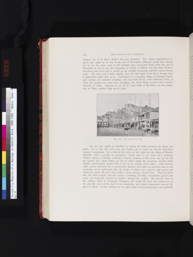
Fig. 305. THE BAZAAR OF LEH.
|
Copyright (C) 2003-2019 National Institute of Informatics and The Toyo Bunko. All Rights Reserved.