National Institute of Informatics - Digital Silk Road Project
| |||||||||
|
| Scientific Results of a Journey in Central Asia, 1899-1902 : vol.4 |
 |
320 WESTWARDS TO LADAK.
cause the Panggong-tso to drop, and this result will be further accelerated by the evaporation and the shortage in other supplies of water.
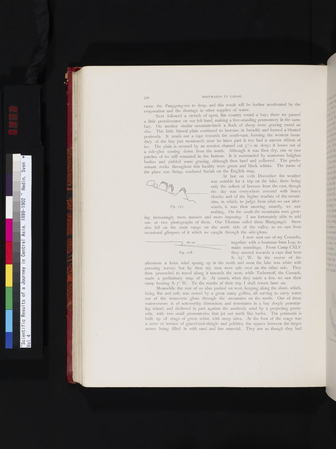
Next followed a stretch of open, flat country round a bay; there we passed a little protuberance on our left hand, making a free-standing promontory in the same bay. On another similar mountain-knob a flock of sheep were grazing round an obo. This little littoral plain continued to increase in breadth and formed a blunted peninsula. It sends out a cape towards the south-east, forming the western boundary of the bay just mentioned; near its inner part it too had a narrow ribbon of ice. The plain is crossed by an erosion channel cut 3 V2 m. deep ; it issues out of a side-glen coming down from the north. Although it was then dry, one or two patches of ice still remained in the bottom. It is surrounded by numerous balghun bushes and yielded some grazing, although then hard and yellowed. The predominant rocks throughout this locality were green and black schists. The name of the place was Siriap, rendered Suriah on the English map.
At last on i t th December the weather was suitable for a trip on the lake, there being only the softest of breezes from the east, though the sky was everywhere covered with heavy clouds; and of the higher reaches of the mountains, in which, to judge from what we saw afterwards, it was then snowing smartly, we saw nothing. On the south the mountains were grow
ing increasingly more massive and more imposing. I am fortunately able to add one or two photographs of them. Our Tibetans called them Manigangri. Snow also fell on the main range on the north side of the valley, as we saw from occasional glimpses of it which we caught through the side-glens.
I now sent one of my Cossacks,
1,95 cam. together with a boatman from Lop, to
make soundings. From Camp CXLV Fig. 228. they steered towards a cape that bore
S. 65° W. In the course of the afternoon a keen wind sprang up in the south and soon the lake was white with pursuing waves; but by then my men were safe over on the other side. They then proceeded to travel along it towards the west, while Tschernoff, the Cossack, made a preliminary map of it. At sunset, when they made a fire, we saw their camp bearing S. 7° W. To the results of their trip I shall return later on.
Meanwhile the rest of us also pushed on west, keeping along the shore, which, being flat and soft, was scored by a great many gullies, all serving to carry water out of the transverse glens through the mountains on the north. One of these watercourses is of noteworthy dimensions and terminates in a bay deeply penetrating inland, and sheltered in part against the southerly wind by a projecting peninsula, with two small promontories that jut out north like barbs. The peninsula is built up of crags of green schist, with steep sides. At the foot of the crags was a scree or terrace of gravel-and-shingle and pebbles, the spaces between the larger stones being filled in with sand and fine material. They are as though they had
~
Fig. 227.
|
Copyright (C) 2003-2019 National Institute of Informatics and The Toyo Bunko. All Rights Reserved.