 IIIFカラー高解像度
国立情報学研究所 - ディジタル・シルクロード・プロジェクト
| |||||||||
|
| IIIFカラー高解像度 |
| Southern Tibet : vol.7 | |
| 南チベット : vol.7 |
 |
 |
 |
 |
 |
 |
|
|
 |
|
|
|
|
|
|
|
|
引用情報
VOUNGHUSBAND.
355
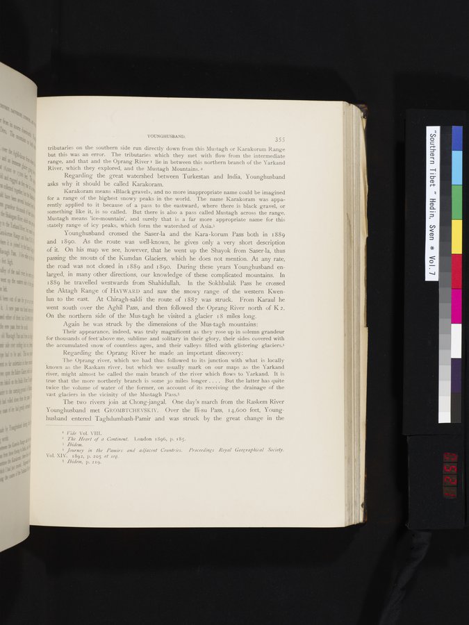
tributaries on the southern side run directly down from this Mustagh or Karakorum Range but this was an error. The tributaries which they met with flow from the intermediate range, and that and the Oprang River ' lie in between this northern branch of the Yarkand River, which they explored, and the Mustagh Mountains. 2
Regarding the great watershed between Turkestan and India, Younghusband asks why it should be called Karakoram.
Karakoram means »Black gravel», and no more inappropriate name could be imagined for a range of the highest snowy peaks in the world. The name Karakoram was appa-
ii rently applied to it because of a pass to the eastward, where there is black gravel, or
something like it, is so called. But there is also a pass called Mustagh across the range. Mustagh means 'ice-mountain', and surely that is a far more appropriate name for this stately range of icy peaks, which form the watershed of Asia.3
Younghusband crossed the Saser-la and the Kara-korum Pass both in 1889 and I 89o. As the route was well-known, he gives only a very short description of it. On his map we see, however, that he went up the Shayok from Saser-la, thus passing the snouts of the Kumdan Glaciers, which he does not mention. At any rate, the road was not closed in i 889 and 1890. During these years Younghusband enlarged, in many other directions, our knowledge of these complicated mountains. In 1889 he travelled westwards from Shahidullah. In the Sokhbulåk Pass he crossed the Aktagh Range of HAYWARD and saw the snowy range of the western Kwenlun to the east. At Chiragh-saldi the route of 1887 was struck. From Karaul he went south over the Aghil Pass, and then followed the Oprang River north of K 2. On the northern side of the Mus-tagh he visited a glacier 18 miles long.
Again he was struck by the dimensions of the Mus-tagh mountains:
Their appearance, indeed, was truly magnificent as they rose up in solemn grandeur for thousands of feet above me, sublime and solitary in their glory, their sides covered with the accumulated snow of countless ages, and their valleys filled with glistering glaciers.4
Regarding the Oprang River he made an important discovery:
The Oprang river, which we had thus followed to its junction with what is locally known as the Raskam river, but which we usually mark on our maps as the Yarkand river, might almost be called the main branch of the river which flows to Yarkand. It is true that the more northerly branch is some 3o miles longer .... But the latter has quite twice the volume of water of the former, on account of its receiving the drainage of the vast glaciers in the vicinity of the Mustagh Pass.5
The two rivers join at Chong-jangal. One day's march from the Raskem River Younghusband met GROMBTCHEVSKIY. Over the Ili-su Pass, 14,600 feet, Young-husband entered Taghdumbash-Pamir and was struck by the great change in the
I Vide Vol. VIII.
2 The Heart of a Continent. London 1896, p. 185.
3 Ibidem.
4 .Journey in the Pamirs and adjacent Countries. Proceedings Royal Geographical Society. Vol. XIV. 1892, p. 205 et sey.
5 Ibidem, p. 2I9.
|
|
|
|
|
|
|
|
|
Copyright (C) 2003-2019
National Institute of Informatics(国立情報学研究所)
and
The Toyo Bunko(東洋文庫). All Rights Reserved.
本ウェブサイトに掲載するデジタル文化資源の無断転載は固くお断りいたします。