国立情報学研究所 - ディジタル・シルクロード・プロジェクト
| |||||||||
|
| Southern Tibet : vol.7 | |
| 南チベット : vol.7 |
 |
LATITUDINAL DEPRESSIONS OF NORTHERN AND CENTRAL TIBET.
554
4
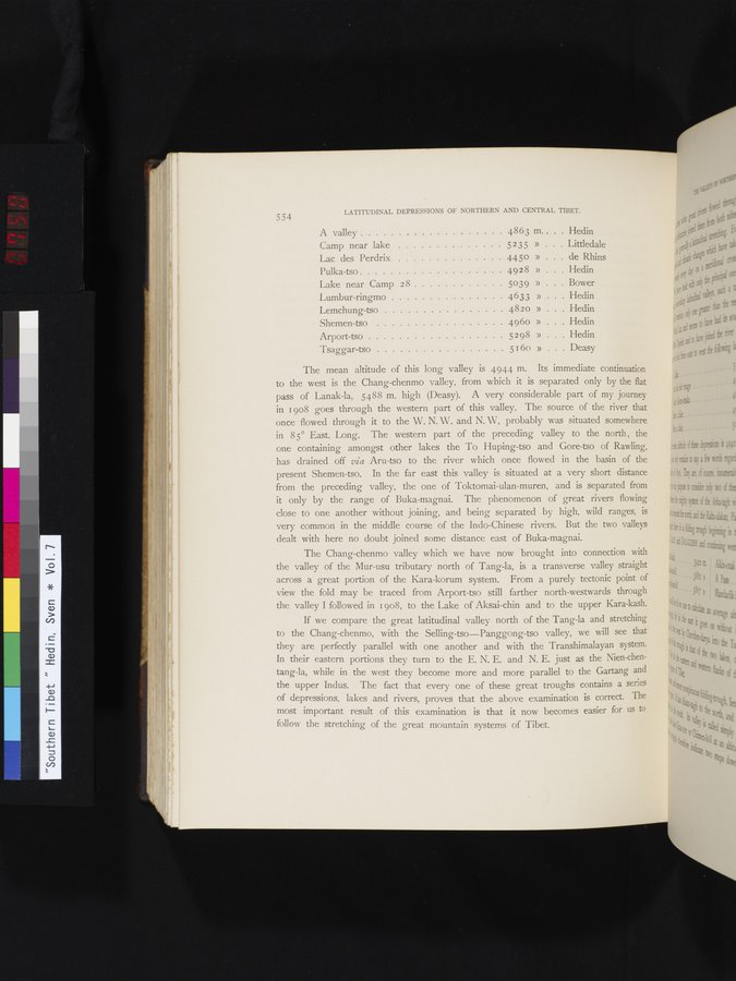
A valley 4863 m . . . Hedin
Camp near lake 5 2 3 5 » Littledale
Lac des Perdrix 4450 » • . de Rhins
Pulka-tso 4928 » . Hedin
Lake near Camp 2 8 5039 » . Bower
Lumbur-ringmo 4633 » . . Hedin
Lemchung-tso 4820 » . . Hedin
Shemen-tso 4960 » . Hedin
Arport-tso 5298
160 » Hedin
Tsaggar-tso 5 » .Deasy
The mean altitude of this long valley is 4944 m. Its immediate continuation to the west is the Chang-chenmo valley, from which it is separated only by the flat pass of Lanak-la, 5488 m. high (Deasy). A very considerable part of my journey in 1908 goes through the western part of this valley. The source of the river that once flowed through it to the W. N. W. and N. W, probably was situated somewhere in 85° East. Long. The western part of the preceding valley to the north , the one containing amongst other lakes the To Huping-tso and Gore-tso of Rawling, has drained off via Aru-tso to the river which once flowed in the basin of the present Shemen-tso. In the far east this valley is situated at a very short distance from the preceding valley, the one of Toktomai-ulan-muren, and is separated from it only by the range of Buka-magnai. The phenomenon of great rivers flowing close to one another without joining, and being separated by high, wild ranges, is very common in the middle course of the Indo-Chinese rivers. But the two valleys dealt with here no doubt joined some distance east of Buka-magnai.
The Chang-chenmo valley which we have now brought into connection with the valley of the Mur-usu tributary north of Tang-la, is a transverse valley straight across a great portion of the Kara-korum system. From a purely tectonic point of view the fold may be traced from Arport-tso still farther north-westwards through the valley I followed in 1908, to the Lake of Aksai-chin and to the upper Kara-kash.
If we compare the great latitudinal valley north of the Tang-la and stretching to the Chang-chenmo, with the Selling-tso—Panggong-tso valley, we will see that they are perfectly parallel with one another and with the Transhimalayan system. In their eastern portions they turn to the E. N. E. and N. E. just as the Nien-chentang-la, while in the west they become more and more parallel to the Gartang and the upper Indus. The fact that every one of these great troughs contains a series of depressions, lakes and rivers, proves that the above examination is correct. The most important result of this examination is that it now becomes easier for us to follow the stretching of the great mountain systems of Tibet.
|
Copyright (C) 2003-2019
National Institute of Informatics(国立情報学研究所)
and
The Toyo Bunko(東洋文庫). All Rights Reserved.
本ウェブサイトに掲載するデジタル文化資源の無断転載は固くお断りいたします。