tamarisks were growing on its left side. A little to the south there is a small deep basin of beautiful emerald green water, traversed by a rivulet from the main brook. This little basin lies at the termination of a side-ravine, and has evidently been hollowed out by the waterfall which no doubt is created there after rain. Near our camp I noticed a dark green variety of rock lying 67° N. 5° E., though the position was not very distinct. Amongst the detritus of the gravel-and-shingle there were however a species of graphitoid slate, crystalline schists, pegmatite, etc.
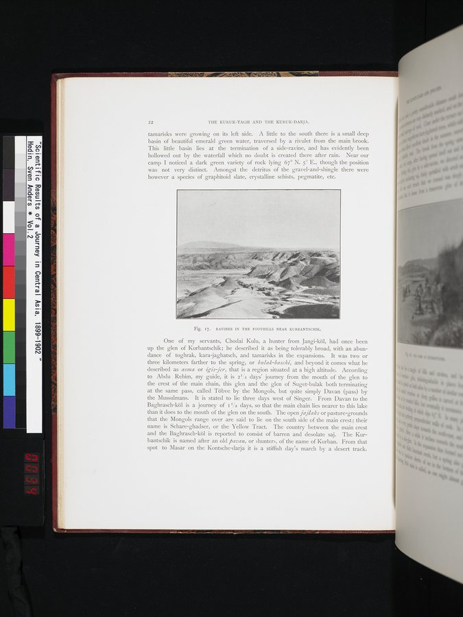
Fig. 17. RAVINES IN THE FOOTHILLS NEAR KURBANTSCHIK.
One of my servants, Chodai Kulu, a hunter from Jangi-köl, had once been up the glen of Kurbantschik; he described it as being tolerably broad, with an abundance of toghrak, kara jaghatsch, and tamarisks in the expansions. It was two or three kilometers farther to the spring, or bulak-baschi, and beyond it comes what he described as asma or igis jer, that is a region situated at a high altitude. According to Abdu Rehim, my guide, it is 2'/2 days' journey from the mouth of the glen to the crest of the main chain, this glen and the glen of Suget-bulak both terminating at the same pass, called Töbve by the Mongols, but quite simply Davan (pass) by the Mussulmans. It is stated to lie three days west of Singer. From Davan to the Baghrasch-köl is a journey of i I/2 days, so that the main chain lies nearer to this lake than it does to the mouth of the glen on the south. The open jajlaks or pasture-grounds that the Mongols range over are said to lie on the south side of the main crest ; their name is Schare-ghadser, or the Yellow Tract. The country between the main crest and the Baghrasch-köl is reported to consist of barren and desolate saj. The Kurbantschik is named after an old ftavan, or »hunter», of the name of Kurban. From that spot to Masar on the Kontsche-darja it is a stiffish day's march by a desert track.