国立情報学研究所 - ディジタル・シルクロード・プロジェクト
| |||||||||
|
| Scientific Results of a Journey in Central Asia, 1899-1902 : vol.2 | |
| 1899-1902年の中央アジア旅行における科学的成果 : vol.2 |
 |
| 窪地の断面図。Vertical section of depressions | |
| 同前The same |
GENERAL HYDROGRAPHICAL RELATIONS OF THE TARIM DELTAIC REGION. 341
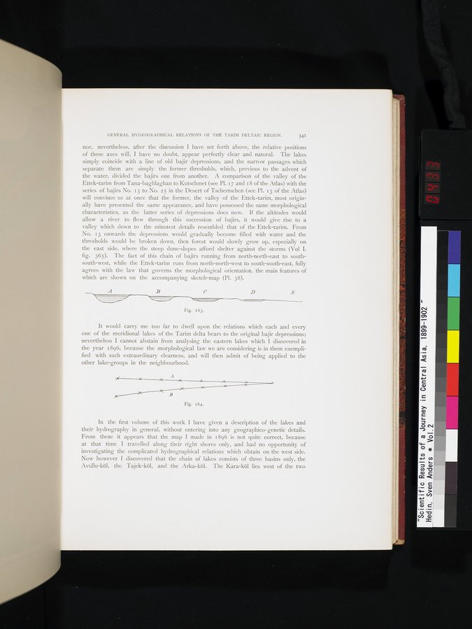
nor, nevertheless, after the discussion I have set forth above, the relative positions of these axes will, I have no doubt, appear perfectly clear and natural. The lakes simply coincide with a line of old bajir depressions, and the narrow passages which separate them are simply the former thresholds, which, previous to the advent of the water, divided the bajirs one from another. A comparison of the valley of the Ettek-tarim from Tana-baghlaghan to Kutschmet (see Pl. 17 and 18 of the Atlas) with the series of bajirs No. i 3 to No. 25 in the Desert of Tschertschen (see Pl. 13 of the Atlas) will convince us at once that the former, the valley of the Ettek-tarim, must originally have presented the same appearance, and have possessed the same morphological characteristics, as the latter series of depressions does now. If the altitudes would allow a river to flow through this succession of bajirs, it would give rise to a valley which down to the minutest details resembled that of the Ettek-tarim. From No. 13 onwards the depressions would gradually become filled with water and the thresholds would be broken down, then forest would slowly grow up, especially on the east side, where the steep dune-slopes afford shelter against the storms (Vol I, fig. 365). The fact of this chain of bajirs running from north-north-east to south-south-west, while the Ettek-tarim runs from north-north-west to south-south-east, fully agrees with the law that governs the morphological orientation, the main features of which are shown on the accompanying sketch-map (Pl. 38).
C
D L~
Fig. 163.
It would carry me too far to dwell upon the relations which each and every one of the meridional lakes of the Tarim delta bears to the original bajir depressions; nevertheless I cannot abstain from analysing the eastern lakes which I discovered in the year 1896, because the morphological law we are considering is in them exemplified with such extraordinary clearness, and will then admit of being applied to the other lake-groups in the neighbourhood.
~ X A
~ X ~c x
B
Fig. 164.
In the first volume of this work I have given a description of the lakes and their hydrography in general, without entering into any geographico-genetic details. From these it appears that the map I made in 1896 is not quite correct, because at that time I travelled along their right shores only, and had no opportunity of investigating the complicated hydrographical relations which obtain on the west side. Now however I discovered that the chain of lakes consists of three basins only, the Avullu-köl, the Tajek-köl, and the Arka-köl. The Kara-köl lies west of the two
|
Copyright (C) 2003-2019
National Institute of Informatics(国立情報学研究所)
and
The Toyo Bunko(東洋文庫). All Rights Reserved.
本ウェブサイトに掲載するデジタル文化資源の無断転載は固くお断りいたします。