国立情報学研究所 - ディジタル・シルクロード・プロジェクト
| |||||||||
|
| Scientific Results of a Journey in Central Asia, 1899-1902 : vol.2 | |
| 1899-1902年の中央アジア旅行における科学的成果 : vol.2 |
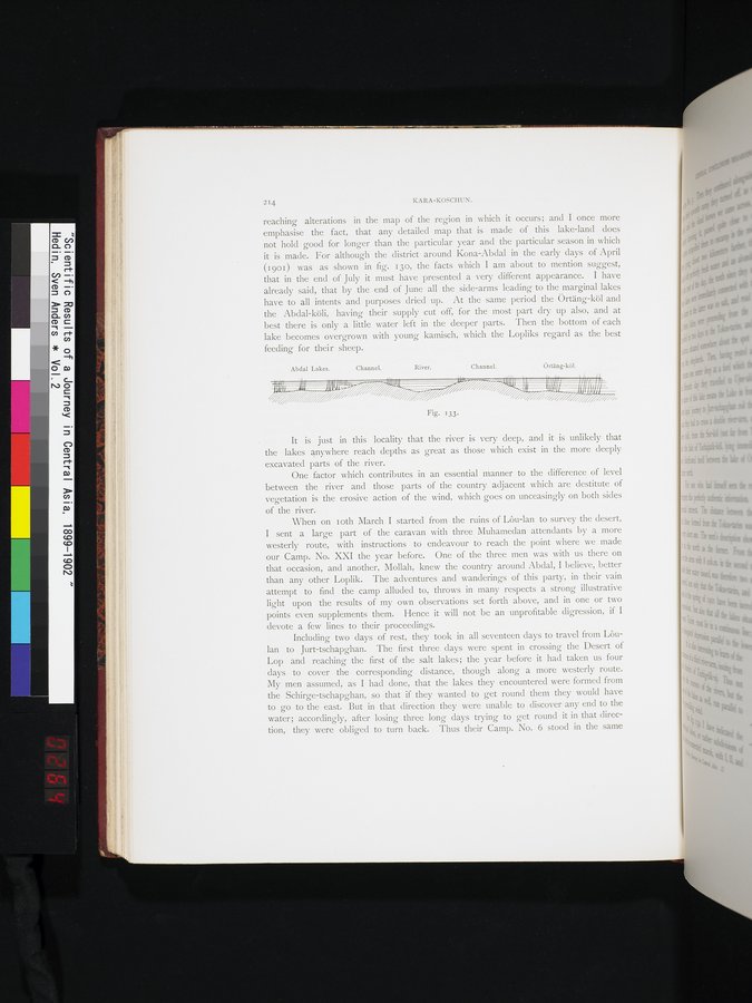 |
| 河川と湖の断面図。Vertical section of river and lakes |
214 KARA-KOSCHUN.
reaching alterations in the map of the region in which it occurs; and I once more emphasise the fact, that any detailed map that is made of this lake-land does not hold good for longer than the particular year and the particular season in which it is made. For although the district around Kona-Abdal in the early days of April 090I) was as shown in fig. 13o, the facts which I am about to mention suggest, that in the end of July it must have presented a very different appearance. I have already said, that by the end of June all the side-arms leading to the marginal lakes have to all intents and purposes dried up. At the same period the Örtäng-köl and the Abdal-köli, having their supply cut off, for the most part dry up also, and at best there is only a little water left in the deeper parts. Then the bottom of each lake becomes overgrown with young kamisch, which the Lopliks regard as the best feeding for their sheep.
It is just in this locality that the river is very deep, and it is unlikely that the lakes anywhere reach depths as great as those which exist in the more deeply excavated parts of the river.
One factor which contributes in an essential manner to the difference of level between the river and those parts of the country adjacent which are destitute of vegetation is the erosive action of the wind, which goes on unceasingly on both sides of the river.
When on Loth March I started from the ruins of Lôu-lan to survey the desert, I sent a large part of the caravan with three Muhamedan attendants by a more westerly route, with instructions to endeavour to reach the point where we made our Camp. No. XXI the year before. One of the three men was with us there on that occasion, and another, Mollah, knew the country around Abdal, I believe, better than any other Loplik. The adventures and wanderings of this party, in their vain attempt to find the camp alluded to, throws in many respects a strong illustrative light upon the results of my own observations set forth above, and in one or two points even supplements them. Hence it will not be an unprofitable digression, if I devote a few lines to their proceedings.
Including two days of rest, they took in all seventeen days to travel from Lôulan to Jurt-tschapghan. The first three days were spent in crossing the Desert of Lop and reaching the first of the salt lakes; the year before it had taken us four days to cover the corresponding distance, though along a more westerly route. My men assumed, as I had done, that the lakes they encountered were formed from the Schirge-tschapghan, so that if they wanted to get round them they would have to go to the east. But in that direction they were unable to discover any end to the water; accordingly, after losing three long days trying to get round it in that direction, they were obliged to turn back. Thus their Camp. No. 6 stood in the same
Fig. 133.
Abdal Lakes.
Channel.
River.
Channel.
Örtäng-köl.
|
Copyright (C) 2003-2019
National Institute of Informatics(国立情報学研究所)
and
The Toyo Bunko(東洋文庫). All Rights Reserved.
本ウェブサイトに掲載するデジタル文化資源の無断転載は固くお断りいたします。