国立情報学研究所 - ディジタル・シルクロード・プロジェクト
| |||||||||
|
| Scientific Results of a Journey in Central Asia, 1899-1902 : vol.2 | |
| 1899-1902年の中央アジア旅行における科学的成果 : vol.2 |
 |
| 土壌の形状。Clay formations |
I 14 THE KURUK-TAGH AND 'l'HE KURUK-DARJA.
the five ridges. Into it all the dry brooks of the vicinity gathered. The ground was very soft, frequently thinly . strewn with gravel, with not a glimpse of vegetation either dead or living; even the wild camels' tracks were few and far between.
Upon reaching the western extremity of the third parallel range we changed our course towards the N. 70° W., keeping to the »mouth» of the valley I have mentioned. From the promontory already alluded to the surface dropped by several step-like terraces towards the depression. On the right we passed several hills of an intense brick-red clay with steep sides. The depression into which we now descended, after leaving all the outliers and promontories of the mountains behind us is, like them, divided into various zones of different characters and situated at somewhat different elevations. At the foot of the lowest terrace there lay what to the eye appeared to be a perfectly level expanse of schor; it consisted as usual of saliferous matter, and was hard, being roughened by corrugations 1 to 2 cm. high and seamed with small crevices. It extended towards the south-west for as far as we could see, until in all probability it merged into the precisely similar schor desert which I crossed later north of the Kara-koschun. It also appeared to extend to a considerable distance in the opposite direction, towards the north-north-east; where it was joined • by the latitudinal valley which we had recently crossed over between ridges No. 1 and No. 2 and in which the camel-tracks were so numerous. This wedge-shaped arm of the Desert of Lop may be regarded as a bay of the larger lake which anciently filled its basin. On the other hand it is likely that the similar expanse of schor which we crossed immediately north-east of Camp No. CXLVII is an isolated basin, having no connection with this 'ancient lake; indeed its absolute altitude is considerably higher than the altitude of the latter. This wedge-shaped bay thus fills up the space which intervenes between the western ends of the five parallel chains and the ranges of the Kuruk-tagh to west and north-west of them. Consequently the orographical relations are quite different from what the maps have represented them to be. In this particular locality the southern chains of the Kuruk-tagh are broken off abruptly, whereas they were previously believed to be continuous and connected, and to bend just at this part towards the south-east.
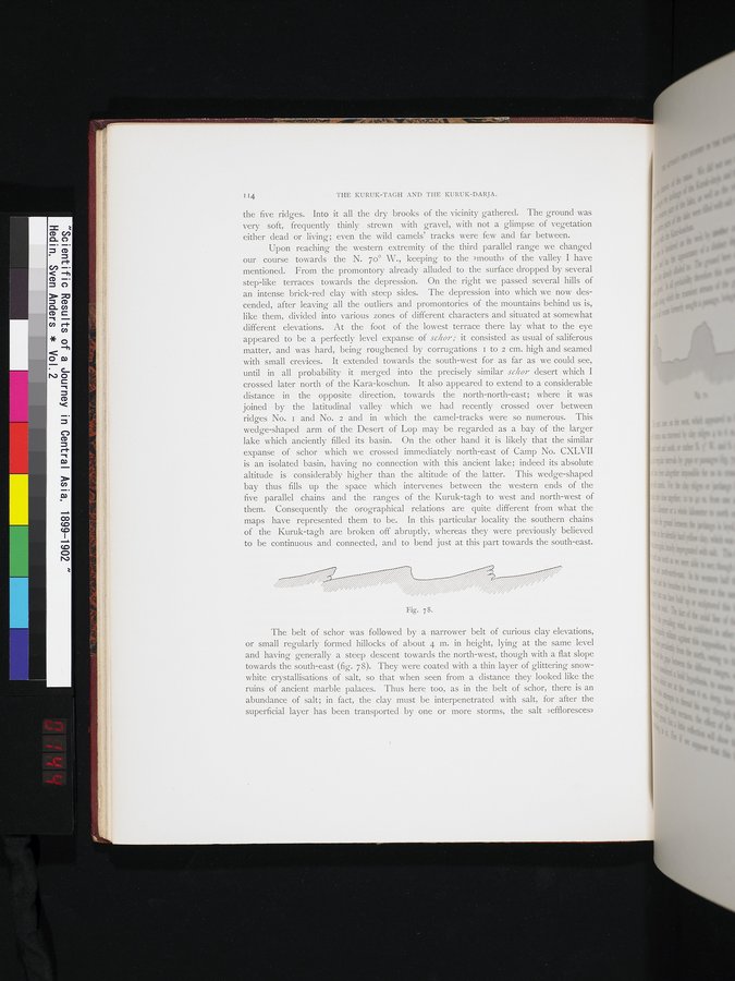
Fig. 78.
The belt of schor was followed by a narrower belt of curious clay elevations, or small regularly formed hillocks of about 4 m. in height, lying at the same level and having generally a steep descent towards the north-west, though with a flat slope towards the south-east (fig. 78). They were coated with a thin layer of glittering snow-white crystallisations of salt, so that when seen from a distance they looked like the ruins of ancient marble palaces. Thus here too, as in the belt of schor, there is an abundance of salt; in fact, the clay must be interpenetrated with salt, for after the superficial layer has been transported by one or more storms, the salt »effloresces»
|
Copyright (C) 2003-2019
National Institute of Informatics(国立情報学研究所)
and
The Toyo Bunko(東洋文庫). All Rights Reserved.
本ウェブサイトに掲載するデジタル文化資源の無断転載は固くお断りいたします。