国立情報学研究所 - ディジタル・シルクロード・プロジェクト
| |||||||||
|
| Scientific Results of a Journey in Central Asia, 1899-1902 : vol.2 | |
| 1899-1902年の中央アジア旅行における科学的成果 : vol.2 |
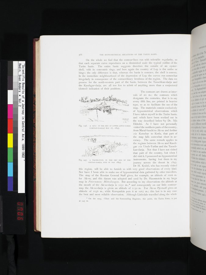 |
| ヤンギ・ダリヤ(コータン・ダリヤ)下流の河床にある「クル」、1895年5月27日。A »KÖL» IN THE BED OF LOWER JANGI-DARJA (CHOTAN-DARJA) MAY 27, 1895. | |
| コータン・ダリヤの干上がった河床にある水溜り。1895年5月末。A WATER-POOL IN THE DRY BED OF THE CHOTAN-DARJA, END OF MAY 1895. |
566 THE HYPSOMETRICAL RELATIONS OF THE TARIMI BASIN.
On the whole we find that the contour-lines run with tolerable regularity, so that each separate curve reproduces on a diminished scale the typical outline of the Tarim basin. The entire basin suggests therefore the outside of an oyster-shell, with its concentric rings, and here again the country of Lop is the umbo or hinge; the only difference is that, whereas the basin is concave, the shell is convex. In the immediate neighbourhood of the depression of Lop the curves run somewhat irregularly in consequence of the extraordinary levelness of the region. The data we possess for the north-western part of the basin, between the Tauschkan-darja and the Kaschgar-darja, are all too few to admit of anything more than a conjectural (dotted) indication of their positions.
The contours are drawn at inter-
vals of 20 m.; the contours which
Fig. 246. A »KÖL» IN THE BED OF LOWER JANGI-DARJA
(CHOTAN-DARJA) MAY 27, 1895. visited the northern parts of the country,
from Maral-baschi to Ak-su and further via Kutschar to Korla, that part of the map falls somewhat short in accuracy. The same remark applies to
-
the regions between Ak-su and Kasch-
~'"` gar via Utsch-Turfan and the Tausch-
kan-darja. Not that I have not visited
that part of the country, but when I
did visit it, I possessed no hypsometrical
instruments, having lost them in my
journey across the desert in 1895.
Dr H. Keidel, who has recently visited this region, will be able to furnish us with very good observations of every kind. Nor have I been able to make use of hypsometrical data gathered by other travellers. The map of the Russian General Staff gives, for example, an altitude of ioo6 m. for Ak-su, and . this datum was adopted and used by Dr. Hassenstein in my large map in Petermanns Mitteilungen. But according to my observations the altitude at the mouth of the Ak-su-darja is 1031 m.,* and consequently on our little contour-map the Ak-su-darja is given an altitude of I 130 m. For Ak-su Pjevtsoff gives an altitude of 1036 m., while Kuropatkin puts it at 1067 m.; this last is in any case
the best and most reliable observation. Although Littledale travelled along the whole
* On the map, »Tibet and the Surrounding Regions», this point, the Tarim Ferry, is put at 945 m.
' ? designate the centuries, that is to say
every fifth line, are printed in heavier type, so as to facilitate the use of the
map. The materials consist exclusively
of hypsometrical observations which I have taken myself in the Tarim basin,
and which have been worked out in the way described below *by Dr. Nils
Ekholm. As I have not personally
EiraD~D~ _BN/~[ lbfll~/ilattg0¢)Mratee-22.1¢.armr.,>..r. ~~►y.~
Mir
S
Fig. 247. A WATER-POOL IN THE DRY BED OF THE CHOTAN-DARJA, END OF MAY 1895.
|
Copyright (C) 2003-2019
National Institute of Informatics(国立情報学研究所)
and
The Toyo Bunko(東洋文庫). All Rights Reserved.
本ウェブサイトに掲載するデジタル文化資源の無断転載は固くお断りいたします。