国立情報学研究所 - ディジタル・シルクロード・プロジェクト
| |||||||||
|
| Scientific Results of a Journey in Central Asia, 1899-1902 : vol.2 | |
| 1899-1902年の中央アジア旅行における科学的成果 : vol.2 |
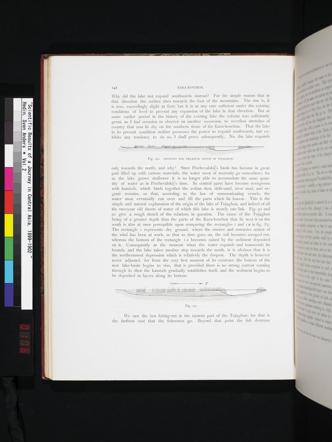 |
| トヤグンの相対的深度を示している。SHOWING THE RELATIVE DEPTH OF TOJAGHUN. | |
| 同前The same |
142
KARA-KOSCHUN.
Why did the lake not expand southwards instead? For the simple reason that in that direction the surface rises towards the foot of the mountains. The rise is, it is true, exceedingly slight at first; but it is at any rate sufficient under the existing conditions of level to prevent any expansion of the lake in that direction. But at some earlier period in the history of the existing lake the volume was sufficiently great, as I had occasion to observe on another excursion, to overflow stretches of country that now lie dry on the southern shore of the Kara-koschun. That the lake in its present condition neither possesses the power to expand southwards, nor exhibits any tendency to do so, I shall prove subsequently. No, the lake expands
Fig. 90. SHOWING THE RELATIVE DEPTH OF TOJAGIIUN.
only towards the north; and why ? Since Prschevalskij's basin has become in great part filled up with various materials, the water must of necessity go somewhere; for as the lake grows shallower it is no longer able to accomodate the same quantity of water as in Prschevalskij's time. Its central parts have become overgrown with kamisch, which binds together the molian dust, drift-sand, river mud, and organic remains, so that, according to the law of communicating vessels, the water must eventually run over and fill the parts which lie lowest. This is the simple and natural explanation of the origin of the lake of Tojaghun, and indeed of all the two-year old sheets of water of which this lake is merely one link. Fig. 90 and 91 give a rough sketch of the relations in question. The cause of the Tojaghun being of a greater depth than the parts of the Kara-koschun that lie next it on the south is also at once perceptible upon comparing the rectangles i and i a in fig. 85. The rectangle t represents dry ground, where the erosive and corrasive action of the wind has been at work, so that as time goes on, the soil becomes scooped out, whereas the bottom of the rectangle z a becomes raised by the sediment deposited on it. Consequently at the moment when the water expands and transcends its bounds, and the lake takes another step towards the north, it is obvious that it is the northernmost depression which is relatively the deepest. The depth is however never adjusted, for from the very first moment of its existence the bottom of the new lake-basin begins to rise, that is provided there is no strong current running through it; then the kamisch gradually establishes itself, and the sediment begins to be deposited in layers along its bottom.
N
flIIWI NIMBI I ll IIfIUII1•AlII1HJ<ul111lllfMl0luNrnluwr/MO
Fig. 9 I .
We saw the last fishing-net in the eastern part of the Tojaghun; for that is the farthest east that the fishermen go. Beyond that point the fish decrease
|
Copyright (C) 2003-2019
National Institute of Informatics(国立情報学研究所)
and
The Toyo Bunko(東洋文庫). All Rights Reserved.
本ウェブサイトに掲載するデジタル文化資源の無断転載は固くお断りいたします。