国立情報学研究所 - ディジタル・シルクロード・プロジェクト
| |||||||||
|
| Scientific Results of a Journey in Central Asia, 1899-1902 : vol.2 | |
| 1899-1902年の中央アジア旅行における科学的成果 : vol.2 |
 |
| 中央に隆起線のある窪地。THE DEPRESSION WITH A RIDGE IN THE MIDDLE. |
483
FROM THE ANAMBARUIN-GOL TO THE DESERT-RANGE.
t t e
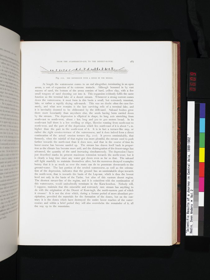
Fig. 210. THE DEPRESSION WITH A RIDGE IN THE MIDDLE.
At length the watercourse comes to an end altogether, terminating in an open arena, a sort of expansion of its extreme tentacle. Although hemmed in by vast masses of sand, the bottom of the arena consists of hard, yellow clay, with a few small tongues of sand shooting out into it. This expansion evidently fulfils the same function as the terminal lake of a desert stream. 'Whenever a strong current comes clown the watercourse, it must form in this basin a small, but extremely transient, lake, or rather a rapidly drying salt-marsh. This was no doubt often the case formerly, and what now remains is the last surviving relic of a terminal lake, and it is inevitably doomed to be obliterated by the drift-sand. Saksaul bushes grow there more luxuriantly than anywhere else, the seeds having been carried down by the stream. The depression is elliptical in shape, its long axis stretching from south-east to north-west, about i km. long and 30o to 400 meters broad. In its south-east half there is a low swelling or ridge, likewise running from south-east to north-west, and the part of the depression which lies north-east of it is about 3/4 m. higher than the part to the south-west of it. It is in fact a terrace-like step, or rather the right erosion-terrace of the watercourse, and it does indeed form a direct continuation of the actual erosion terrace (fig. 2 I o). It proves unmistakably, that formerly, when the rainfall of that region was more plentiful, the stream used to push farther towards the north-east than it does now, and that in the course of time its lower course has become sanded up. The stream has drawn itself back in proportion as the climate has become more arid, and the disintegration of the desert-range has advanced, the quantity of the sand increasing simultaneously. The depression I have just described marks its present maximum extension towards the north-west; but it is clearly a long time since any water got clown even as far as that. The saksaul still fight manfully to maintain themselves alive, but the numerous decayed examples betray that it is as much as ever the roots can do to penetrate downwards to the ground-water. The last portion of the eroded watercourse, as well as the orientation of the depression, indicates that the ground has an unmistakable slope towards the north-west, that is towards the basin of the Lop-nor, \vhich is thus the lowest level not only in the basin of the Tarim, but also of this eastern desert region. The shortest stream-line of the region, and it is coincident with the continuation of this watercourse, would undoubtedly terminate in the Kara-koschun. Nobody will, I suppose, maintain that this miserable and extremely rare stream has anything to do with the origination of the Desert of Kum-tag-h, the north-eastern part of which it crosses? It is not the river which, during a former period of more abundant precipitation, provided the materials for the formation of the dunes, but on the contrary it is the dunes which have destroyed the entire lower reaches of the watercourse; and within a brief period they will also overwhelm the remainder of it, all the way up to the mountains.
|
Copyright (C) 2003-2019
National Institute of Informatics(国立情報学研究所)
and
The Toyo Bunko(東洋文庫). All Rights Reserved.
本ウェブサイトに掲載するデジタル文化資源の無断転載は固くお断りいたします。