国立情報学研究所 - ディジタル・シルクロード・プロジェクト
| |||||||||
|
| Scientific Results of a Journey in Central Asia, 1899-1902 : vol.2 | |
| 1899-1902年の中央アジア旅行における科学的成果 : vol.2 |
 |
522 GENERAL HYDROGRAPHY OF THE TARIM SYSTEM.
extreme west, namely the catchment-grounds of the Jarkent-darja; behind it is a region that drains away to the Indian Ocean, namely the upper basin of the Indus. Here then it is that we have, as also partly in the Pamir, the important divide which separates the water flowing to the great ocean from the water flowing into the Lop-nor depression. As for the catchment-area of the Kaschgar-darja, it touches on the west the catchment-area of the Sea of Aral, namely the upper gathering-grounds of the Sir-darja and the Amu-darja. But in between these two catchment-areas, that of the Kaschgar-darja and the Jarkent-darja on the one side and that of the Amudarja on the other, there are interposed a couple of self-contained basins, namely the large Kara-kul and the Rang-kul.
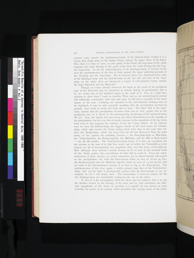
Though, as I have already observed, the basin to the north of the peripheral zone of the Kwen-lun may be considered as entirely lacking in precipitation, this is by no means true of the highland region to the south of it. For, as I shall have occasion to show when I come to describe Tibet, and as my meteorological journal will sufficiently corroborate, both rain and snow do fall there, especially in the warm season of the year. Confining our attention to the self-contained drainage-area of the highlands, it may be said, generally speaking, that the precipitation increases in quantity from north to south and from east to west. The latter half of the statement, namely that the precipitation increases from east to west, applies also to the peripheral zone, as is shown by the accompanying sketch-map of the catchment-areas (Pl. 57). True, the sketch does not convey any direct information as to the quantity of the precipitation; but the very fact of steady decrease in the magnitude of the big rivers from west to east suggests the existence of the law I have stated. In the extreme west we have the Jarkent-darja, the biggest stream of all; next comes the Chotandarja, which only reaches the Tarim during about forty days in the year; then follows the Kerija-darja, which has long been cut off and dissevered from the main artery of the system; the remaining streams — the Sourghak-darja or Nija-darja, the Tolan-chodscha, the Bostan-toghrak, the Möldscha, and the Mit or Kara-muran — are all still smaller. The Tschertschen-darja forms, it is true, an exception; but the streams to the east of it, that flow north, and of which the Tscharklik-su is the largest, are all of incomparably less magnitude than even the rivers of the Kirk-saj. Now although these extreme easterly streams do lie so near to the terminal basin of the Tarim system, they nevertheless all alike fail to reach it. From the catchment-areas of these streams, no sound conclusions can be drawn directly with regard to the precipitation; for, while the Kara-muran drains an area of 18,000 sq. km., the Bostan-toghrak and the Möldscha together drain an area of 13,200 sq. km., and yet each of the last-mentioned streams is at least as big as the Kara-muran. The catchment-area of this river, again, is rather greater than that of the Tschertschendarja, and yet the latter is incomparably greater than the Kara-muran, as my description in vol. I will clearly show. The circumstance is however curious, for the two drainage-areas are immediately contiguous the one to the other.
If now it is the precipitation, both the direct and the indirect, that is to say the freshets formed by the thawing of the snow and ice, that determines the different magnitudes of the rivers in question, it is equally the last named, or more correctly the power of its erosion, which prescribes the varying areas of the catch-
|
Copyright (C) 2003-2019
National Institute of Informatics(国立情報学研究所)
and
The Toyo Bunko(東洋文庫). All Rights Reserved.
本ウェブサイトに掲載するデジタル文化資源の無断転載は固くお断りいたします。