国立情報学研究所 - ディジタル・シルクロード・プロジェクト
| |||||||||
|
| Scientific Results of a Journey in Central Asia, 1899-1902 : vol.2 | |
| 1899-1902年の中央アジア旅行における科学的成果 : vol.2 |
 |
CONTOUR-LINES OF THE UPPER TARIM BASIN. 569
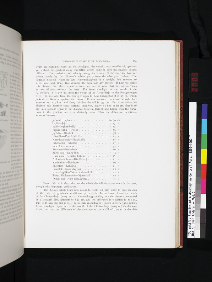
which no windings were as yet developed, the velocity was considerably greater, yet without the gradient along this latter stretch being in even the smallest degree different. The variations of velocity along the course of the river are however shown, partly by Dr. Ekholm's tables, partly from the table given below. The distance between Kaschgar and Kum-tschapghan in a straight line amounts to 1290 km., and along that distance the river falls 487 meters. If now we divide this distance into three equal sections, we see at once that the fall • decreases as we advance towards the east. For from Kaschgar to the mouth of the Ak-su-darja it is 273 m., from the mouth of the Ak-su-darja to the Kurugen-ugen it is 119 m., and from the Kurugen-ugen to Kum-tschapghan it is 95 m. From Jarkent to Kum-tschapghan the distance, likewise measured in a long straight line, amounts to 1225 km., and along this line the fall is 455 m. But if we divide this distance into nineteen equal sections, each very nearly 65 km. in length, that is to say into sections equal to the distance between Jarkent and Lajlik, then the variations in the gradient are very distinctly seen. Thus the difference in altitude amounts between
Jarkent—Lajlik to 99 Ill.
Lajlik—Jajdi » 17 »
Jajdi—Jughan-balik » 35 »
Jughan-balik Jigdelik » 39 »
Jigdelik—Härrälik » 38 »
Härrälik—Kara-ködschäk » i 4 »
Kara-ködschäk—Bitschanlik » 18 »
Bitschanlik—Intschkä » 2 7 »
Intschkä—Sor-sure » J4 »
Sor-sure—Sarik-buja s I o »
Sarik-buja—Kara-akin » 5
Kara-akin—Al-katik-tscheke » 17 »
Al-katik-tscheke—Kischlak-uj » II »
Kischlak-uj—Baschtam » 19 »
Baschtam—Lakulluk » 2I »
Lakulluk—Kona-daghilik » 25 »
Kona-dagilik—Tokta Kullune-köli » I2 »
Tokta Kullune-köli—Ojman-köl » I2 »
Ojman-köl—Kum-tschapghan » 2 »
From this it is clear that on the whole the fall decreases towards the east, though with important oscillations.
The figures which I am now about to quote will also serve to give an idea of the different gradients in different parts of the Tarim basin. From the mouth of the Chotan-darja (1025 m.) to Kum-tschapghan (817 m.) the distance, measured in a straight line, amounts to 83o km. and the difference in elevation to 208 m:, that is to say, the fall is o.251 m. in each kilometer, or 1 meter in every 3990 meters: From Kaschgar (1304 m.) to the mouth of the Chotan-darja (102 5 m.) the distance is 46o km. and the difference of elevation 279 m., or a fall of 0.607 m. in the kilo-
|
Copyright (C) 2003-2019
National Institute of Informatics(国立情報学研究所)
and
The Toyo Bunko(東洋文庫). All Rights Reserved.
本ウェブサイトに掲載するデジタル文化資源の無断転載は固くお断りいたします。