国立情報学研究所 - ディジタル・シルクロード・プロジェクト
| |||||||||
|
| Scientific Results of a Journey in Central Asia, 1899-1902 : vol.2 | |
| 1899-1902年の中央アジア旅行における科学的成果 : vol.2 |
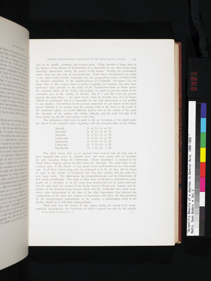 |
GENERAL HYDROGRAPHICAL RELATIONS OF THE TARIM DELTAIC REGION. 335
east in its middle, southern, and western parts. What direction it blows from in the interior of the Desert of Tschertschen it is impossible to say, that desert being absolutely inaccessible during the period of the storms. Possibly the predominant winds there are due east or east-south-east. Under these circumstances the paths of the winds would describe concentric arcs, the geographical centre of which would be situated somewhere in the neighbourhood of Urumtschi. Of course I do not mean that in this respect there is perfect regularity; for instance, the same east-north-east wind prevails in the valley of the Tschertschen-darja as blows across the marginal lakes of the Tarim, and perhaps we ought to put the centre of the concentric arcs in the vicinity of Ala-kul. But if — and this is for our present purpose the main thing — the paths of the winds do describe arcs, it is no longer difficult to understand, that it is impossible for the. bajir depressions to run parallel to one another. Nevertheless in the present connection we get nearer to the actual causal relations if we assume, that the existing relief of the desert is the result of the combined effects of several different factors, such as the volume of the sand, the character of the surface, the relative altitudes, and the wind, but that of all these factors by far the most potent is the wind.
The indications which seem to point to the arc formation of the winds' paths are shown in the subjoined table, beginning with the marginal lakes of the Tarim:
Sejt-köl N. 29° E.—S. 29° W.
Basch-köl N. 25° E.—S. 25° W.
Jangi-köl N. i 5° E.—S. r 5° W.
Gölme-käti N. 23° E.—S. 23° W.
Karaunelik N. I 6° E.—S. I 6° W.
Ullugh-köl N. 6° E.—S. 6° W.
Begelik-köl N. I° E.—S. I° W.
This table shows that, as we proceed from west to east, the long axis of these marginal lake tends to coincide more and more nearly with the meridian, the only exception being the Gölme-käti. Actual coincidence is attained in the Tarim below Arghan, and in the Ilek below the Arka-köl. The small bajirs in the southern part of the Desert of Lop stretch from north-north-west to south-southeast. If all these various long axes be prolonged as in Pl. 38, they will be found to meet in the vicinity of Urumtschi, and thus they coincide with the radii of a very large circle. The Jätim-tarim, the Jemischek-kok-ala, and the Ettek-tarim all flow nearly meridionally. The chain of lakes from Avullu-köl to Arka-köl run pretty nearly on a meridian, or at all events from north-north-west to south-south-east. On the other hand the portion of the Tarim between Karaul and Arghan, and the portion of the Kontsche-darja between Korla and the Avullu-köl, have . made themselves quite independent of the lines of the older depressions: they intersect the continuations of the other two systems of depressions and follow the fall prescribed by the trough-shaped conformation of the country, a conformation which in the locality alluded to is still fairly distinguishable.
What now was the aspect of this region during the period of its hydro-graphical development, the occurrence of which is proved not only by the actually
Hedin, Tourney in Central Asia. H. 43
|
Copyright (C) 2003-2019
National Institute of Informatics(国立情報学研究所)
and
The Toyo Bunko(東洋文庫). All Rights Reserved.
本ウェブサイトに掲載するデジタル文化資源の無断転載は固くお断りいたします。