国立情報学研究所 - ディジタル・シルクロード・プロジェクト
| |||||||||
|
| Scientific Results of a Journey in Central Asia, 1899-1902 : vol.2 | |
| 1899-1902年の中央アジア旅行における科学的成果 : vol.2 |
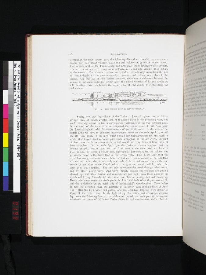 |
| ユルト・チャプガンの中国の砦。THE CHINESE FORT OF JURT-TSCHAPGHAN. |
162 KARA-KOSCHUN.
tschapghan the main stream gave the following dimensions: breadth, 29.6 m.; mean depth, 2.573 m.; mean velocity, 0.3078 m.; and volume, 23.45 cub.m. in the second. The measurement of the Tusun-tschapghan arm gave the following results: breadth, 22.8 m.; mean depth, 1.772 m.; mean velocity, 0.3975 m.; and volume, 16.06 cub.m. in the second. The Kum-tschapghan arm yielded the following data: breadth, 24.8 m.; mean depth, 1.040 m.; mean velocity, 0.3760 m.; and volume, 9.70 cub.m. in the second. On this, as on the former occasion, there was a difference between the volume of the main undivided stream and the added volumes of its two arms; we will therefore take, as before, the mean value of 24.6 cub.m. as representing the real volume.
Fig. I09. TILE CHINESE FORT OF JURT-TSCHAPGHAN.
Seeing now that the volume of the Tarim at Jurt-tschapghan was, as I have already said, 55 cub.m. greater than at the same place in the preceding year, one would naturally expect to find a corresponding difference in the two terminal arms.
In the case of the main river we compared the measurement of 13th April 1900 (at Jurt-tschapghan) with the measurement of 3rd April 1901. In the case of the deltaic arms we have to compare measurements made on the 1 oth April 1900 and the 4th April 1901. If the high water passed Jurt-tschapghan on the 3rd April, it would almost to a dead certainty pass Kum-tschapghan on the 4th April. In point of fact however the relations at the actual mouth are very different from those at
Jurt-tschapghan. On the Toth April i 900 the Tarim at Kum-tschapghan carried a
volume of 26.24 cub.m., and on Toth April 1901 at the same point a volume of 23.45 cub.m., or some 3 cub.m. less, although at Jurt-tschapghan the volume was 55 cub.m. more in the latter than in the former year. Thus in the year 1901 the river lost along the short stretch between Jurt and Kum a volume of no less than I 17 cub.m.; or in other words, only one-sixth of the actual volume reached the true mouth of the river ' in the Kara-koschun. In i 900 the quantity which reached the same point was one-third. The i 17 cub. m. entered the marsh through other canals, and by other, newer ways. And why ? Simply because the old ones are getting choked up, and their banks and ramparts are too high; even those parts of the marsh which they formerly fed with water are likewise getting filled and choked up. Hence the water seeks out fresh paths for itself and finds other depressions to fill, and this exclusively on the north side. of Prschevalskij's Kara-koschun. Nevertheless it may be accepted, that the relations of the river, even in the middle of April
1901, after the high water had passed, and the level had dropped, were similar to those of the year 1900. In the light of my observation and experience we may lay down the following law: at the high-water period, the main part of the volume overflows the banks of the lower Tarim above its real embouchure, and a relatively
|
Copyright (C) 2003-2019
National Institute of Informatics(国立情報学研究所)
and
The Toyo Bunko(東洋文庫). All Rights Reserved.
本ウェブサイトに掲載するデジタル文化資源の無断転載は固くお断りいたします。