SURVEYING THE DESERT. 251
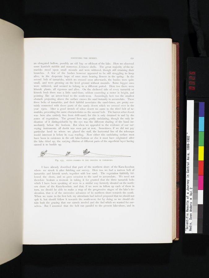
an elongated hollow, possibly an old bay or offshoot of the lake. Here we observed some kamisch stubble and numerous Limnœa shells. The great majority of the tamarisks stood upon small mounds and were withered, though still retaining their branches. A few of the bushes however appeared to be still struggling to keep alive, in the desperate hope of once more bearing flowers in the spring. In the second belt of tamarisks, which we crossed soon afterwards, the bushes were quite small, and were growing on the level ground without mounds. Some bigger ones were withered, and seemed to belong to a different period. Here too there were köuruk plants, all vigorous and alive. On the sheltered side of every tamarisk or köuruk bush there was a little sand-dune, seldom exceeding a meter in height, and pointing like an arrow-head to the south-west. Accordingly here too the smallest obstacle projecting above the surface causes the sand instantly to accumulate. These three belts of tamarisks, and their faithful associates the sand-dunes, are pretty certainly connected with those parts of the sandy desert which we crossed over in the year 1900. After a good stretch of schor desert we came to the third belt of tamarisks, presenting the same characteristics as the second belt. The barren schor desert was here also entirely free from drift-sand; for this is only detained in and by the zones of vegetation. The ground here was gently undulating, though the only indication of it distinguishable by the eye was the different shading of the band immediately below the horizon. But when we appealed to the evidence of our surveying instruments all doubt was soon put at rest. Sometimes, if we did not pay particular heed to where we placed the staff, the horizontal line of the telescope would intersect it below its 0.000 reading. Now either this undulating surface must have been in existence in the old lake-bottom or else it must have originated after the lake dried up, the varying dilation of different parts of the superficial layer having caused it to buckle up.
Fig. 155. DUNES FORMED IN THE SHELTER OF TAMARISKS.
I have already described that part of the northern shore of the Kara-koschun where we struck it after finishing our survey. Here too we had a narrow belt of tamarisks and köuruk scrub, together with low sand. The vegetation faithfully followed the shore, and so gave occasion to the sand to accumulate. We need not therefore hesitate a moment in taking it for granted that the three tamarisk belts which I have been speaking of were in a similar way formerly situated on the northern shore of the Kara-koschun, and that, if we were to follow up each of them in turn, we should be able to make a map of the progressive stages of the lake's desiccation, that is of the successive advances of its northern shore towards the south. When we came to the first belt, my attendants had indeed proposed that we should not quit it, but should follow it towards the south-west, for by doing so we should obtain both the grazing that our camels needed and the fuel which we wanted for ourselves. But I assumed that the belt ran parallel to the present lake-shore, and in