国立情報学研究所 - ディジタル・シルクロード・プロジェクト
| |||||||||
|
| Scientific Results of a Journey in Central Asia, 1899-1902 : vol.2 | |
| 1899-1902年の中央アジア旅行における科学的成果 : vol.2 |
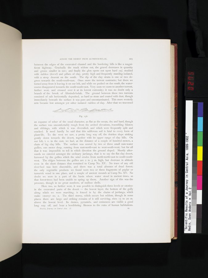 |
| 「ショル」の断面図。Vertical section of »schor» |
ACROSS THE DESERT FROM ALTMISCH-BULAK. 223
between the edges of the excavated channel and the bordering hills is like a magnificent highway. Gradually the track widens out, the gravel decreases in quantity and grows smaller in size; and finally the glen opens out upon hard saj, studded with »tables» (horst) and pillars of clay, pretty high and frequently standing isolated, with a steep descent on the south. The dip of the clay strata is one or two degrees towards the south-south-east. Once more the torrent contracts; but there we turned away from it leaving it on our left, and while we pushed on due south, the watercourse disappeared towards the south-south-east. Very soon we came to another torrent, farther west, and crossed over it at its lowest extremity; it was no doubt only a branch of the brook of Altmisch-bulak. The ground between these two torrents consisted of salt horizontally deposited, as hard as stone and coated with dust, though immediately beneath the surface it was pure and uncontaminated. This more westerly arm became lost amongst yet other isolated »tables» of clay. After that we traversed
Fig. 136.
an expanse of schor of the usual character, as flat as the ocean, dry and hard, though the surface was uncomfortably rough from the arched elevations, resembling blisters and ribbings, with which it was diversified, and which were frequently split and cracked. It need hardly be said that this saliferous soil is fatal to every form of plant-life. To the west we saw, a pretty long way off, the detritus slope sinking gently down towards the desert, together with its upper range of clay hills. On our left, i. e. to the east, we had, at the distance of a couple of hundred meters, a chain of big clay hills. The surface was scored by two or three small rain-water gullies, one meter deep, running from east-north-east to west-south-west; but for all that it was impossible to tell in which direction the ground sloped. Shortly afterwards we entered amongst the ordinary jardangs, that is to say the flat clay desert, furrowed by the gullies which the wind erodes from north-north-east to south-southwest. The ridges between the gullies are 2 to 3 m. high, but decrease in altitude even in the short distance that remained to Camp No. XV. No trace of any old river-bed was here discernible, and there was a total absence of dead forest; the only vegetable products we found were two or three fragments of poplar or tamarisk wood in one place, and a couple of ancient mounds at Camp No. XV. No doubt we were in a part of the basin where water stood in ancient times, so that forest-trees had been unable to spring up there. Another sign of this was the presence, though in no great numbers, of mollusc shells.
Here too, as farther west, it was possible to distinguish three levels or »stories» in the excavated parts of the desert — the lowest layer, the bottom of the gully along which we were marching, is fenced in by the chains of jardangs, which make »storey» no. 2. The third storey, which occurs but seldom, though in some places there are large and striking remains of it still surviving, rises 15 to 20 m. above the lowest level. Its domes, pyramids, and eminences are visible a good long way off, and bear a bewildering likeness to the ruins of human habitations.
Hedin, 7ourney in Central Asia. H. 29
|
Copyright (C) 2003-2019
National Institute of Informatics(国立情報学研究所)
and
The Toyo Bunko(東洋文庫). All Rights Reserved.
本ウェブサイトに掲載するデジタル文化資源の無断転載は固くお断りいたします。