国立情報学研究所 - ディジタル・シルクロード・プロジェクト
| |||||||||
|
| Scientific Results of a Journey in Central Asia, 1899-1902 : vol.2 | |
| 1899-1902年の中央アジア旅行における科学的成果 : vol.2 |
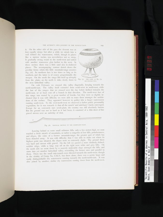 |
| 図73と同一物、復元したもの。THE SAME AS fig. 73, RECONSTRUCTED. | |
| 山脈の断面図。VERTICAL SECTION OF THE MOUNTAIN-CHAIN. |
THE AUTHOR'S OWN JOURNEY IN THE KURUK-TAGH.
it. On the other side of the pass the descent was at first equally steep; but after a while we struck into a well defined dry watercourse, which, though in places like a narrow ravine, was nevertheless not so steep. It gradually swung round to the north-west and united with another transverse glen farther to the west. In these ravines there was a little sand also in sheltered places. The accompanying contour sketch shows the peculiar forms which this little mountain-range assumes (fig. 76). Its northern face is ten times as long as its southern, and the latter is of course proportionally the steeper. On the south the range lifts itself up abruptly
from the plain; on the north it sinks slowly down to Fig. 75. THE SAME AS fig. 73,
RECONSTRUCTED.
the next latitudinal valley.
On I 2th February we crossed this valley diagonally, keeping towards the north-north-east. The valley itself extended from south-west to north-east, while the last of the ranges that we crossed over the day before inclined towards the north-east, or at least sent off a branch in that direction. The north-west face of this range was scored by a great number of brooks, but they were so slightly indicated that it was with difficulty we were able to trace them amongst the undulations of the surface. They appeared however to gather into a larger watercourse running south-west. To the west-north-west we observed a darker patch, presumably vegetation, for it was towards it that all the camels' and antelopes' tracks converged. Except for an extremely rare scrub-plant, the country was still absolutely barren. But the ground was not so hard as it had been; it consisted of a thin sheet of fine gravel strewn over an underlay of dust.
N
Fig. 76. VERTICAL SECTION OF THE MOUNTAIN-CHAIN.
Leaving behind us some small schistose hills, only a few meters high, we soon reached a fresh stretch of mountains, or rather a congeries of low hills, protuberances, and ridges, the ruins of a former mountain-range, the greater part of which has been denuded away. It was with difficulty that I was able to make out where its highest point was situated, the slopes were so extremely slight. The ground there was hard and strewn with gravel. On the left we passed a more distinctly defined, reddish ridge, while a long way off on the right were white and grey hills. On the north side we went down by a scarcely noticeable slope amongst the hills, and came into yet another latitudinal valley, resembling the former ones and parallel to them. There too the small rain-runnels were directed towards the north-west; though in the vicinity of -Camp No. CXLV, but there alone, there was a pretty large and easily distinguishable dry watercourse running towards the north-north-east. It was also joined by another, similar dry watercourse coming down from the north-west.
I09
|
Copyright (C) 2003-2019
National Institute of Informatics(国立情報学研究所)
and
The Toyo Bunko(東洋文庫). All Rights Reserved.
本ウェブサイトに掲載するデジタル文化資源の無断転載は固くお断りいたします。